Medium airport · Denmark

Kolding Vamdrup AirfieldEKVD
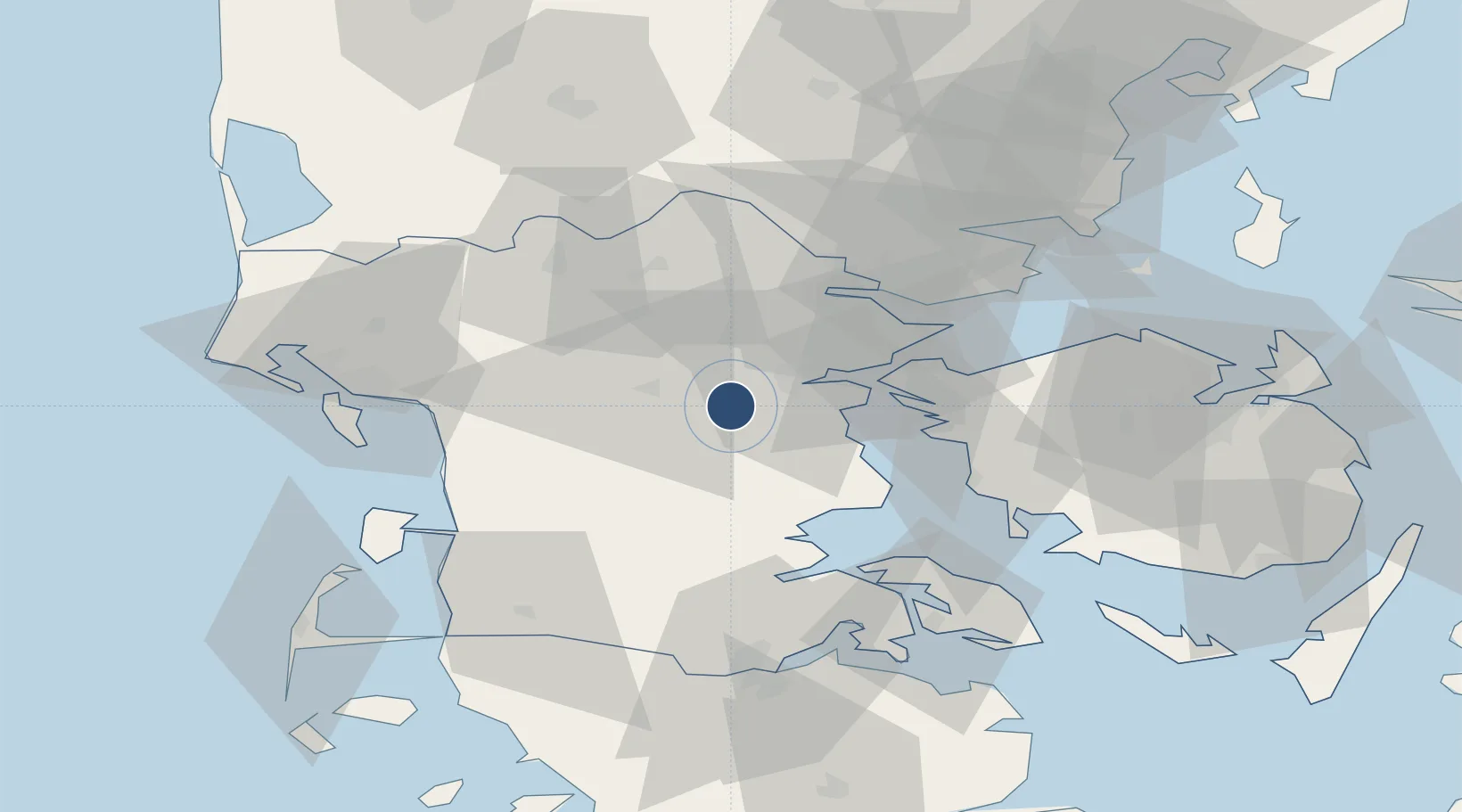
55.4363°, 9.3309°
3,301 ft
Longest runway
2
Runways
143 ft
Elevation

Runway & Layout

Kolding Vamdrup Airfield runway & taxiway layout
Runway & taxiway layout — OpenStreetMap (ODbL) / OurAirports

Radio Frequencies

APP
127.475 MHz
SKRYDSTRUP APP
AFIS
120.5 MHz
VAMDRUP AFIS
OurAirports

Runways · 2

RunwayDimensions SurfaceTrue headingLit
01/19 3,301 × 75ft Asphalt 018°
07/25 2,310 × 75ft Grass 077°
OurAirports

Airport Specifications

ICAO code
EKVD
OurAirports
Airport class
Medium airport
OurAirports
Scheduled service
No
OurAirports
Runway surface
Asphalt
OurAirports
Served city
Kolding / Vamdrup
OurAirports

Location

Location of EKVD
Natural Earth 10m (public domain) · Syddanmark · EKVD · 55.44, 9.33GoogleOSMYandex

Nearby Logistics Neighbours

Airports
  1. 1Skrydstrup Air Base24 km
  2. 2Billund Airport36 km
  3. 3Esbjerg Airport50 km
  4. 4Sønderborg Airport60 km
  5. 5Odense Hans Christian Andersen Airport63 km
Nearest neighbours — logibook spatial index (haversine) over the source coordinates
Cities
  1. 1Nagbol3 km
  2. 2Hejls18 km
  3. 3Odense22 km
  4. 4Føvling24 km
  5. 5Vorbasse27 km
Nearest neighbours — logibook spatial index (haversine) over the source coordinates
Ports
  1. 1Kolding12 km
  2. 2Skaerbaek20 km
  3. 3Haderslev23 km
  4. 4Middelfart26 km
  5. 5Fredericia31 km
Nearest neighbours — logibook spatial index (haversine) over the source coordinates
Trade Zones
  1. 1Freeport of Kiel134 km
  2. 2Freeport of Cuxhaven (Freihafen Cuxhaven)186 km
  3. 3Freeport of Copenhagen- Nordhavn208 km
  4. 4MTS Malmö Transport and Spedition238 km
  5. 5Freeport of Bremerhaven (Freihafen Bremerhaven)263 km
Nearest neighbours — logibook spatial index (haversine) over the source coordinates
DatabookThe Record of Consolidated Knowledge
Denmark beyond logistics?
Browse databook

All Sources

AirportsOurAirports
Public domain
Portsthe NGA World Port Index
Public domain (US gov)
LocationsUN/LOCODE
UN/LOCODE — free
Trade Zonesthe World Bank SEZ database
CC BY 4.0
Trade ZonesOpen Zone Map
CC BY
InfrastructureOpenStreetMap
ODbL 1.0
← Denmark airports