Transport Functions
Port
Hub Profile
Place type
Populated place
Region
Schleswig-Holstein
Time zone
Europe/Berlin
Elevation
4 m
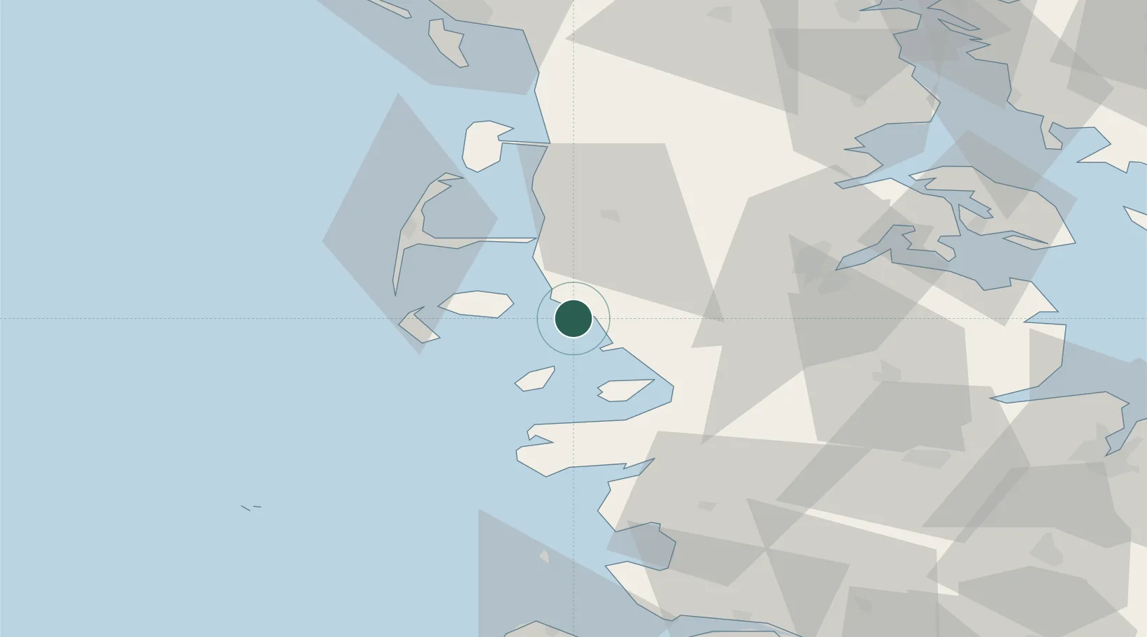
Location
Nearby Logistics Neighbours
Cities
- 1Gröde6 km
- 2Risum-Lindholm10 km
- 3Hooge18 km
- 4Pellworm20 km
- 5Neukirchen21 km
Airports
- 1Westerland Sylt Airport37 km
- 2Schleswig Air Base55 km
- 3Heide-Büsum Airport60 km
- 4Hohn Air Base66 km
- 5Skrydstrup Air Base68 km
Trade Zones
DatabookThe Record of Consolidated Knowledge
Germany beyond logistics?