Transport Functions
Rail
Road
Hub Profile
Place type
Local administrative seat
Region
Schleswig-Holstein
Population
3,581
Time zone
Europe/Berlin
Elevation
2 m
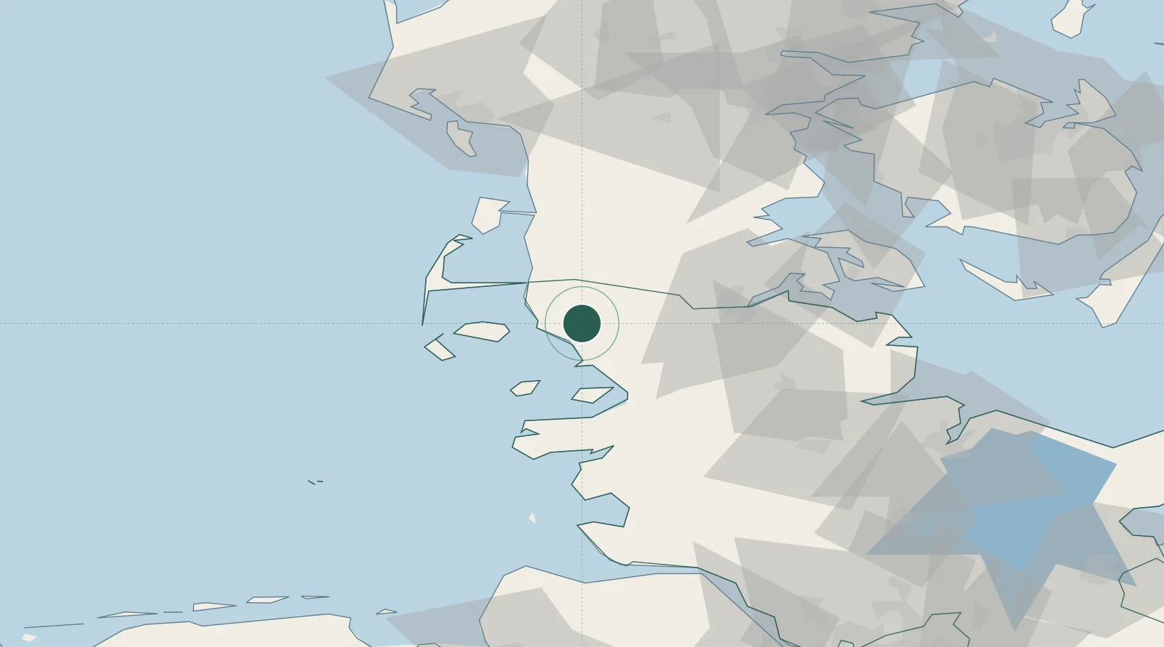
Location
Nearby Logistics Neighbours
Cities
- 1Schluettsiel10 km
- 2Süderlügum14 km
- 3Neukirchen16 km
- 4Gröde16 km
- 5Nordstrand28 km
Ports
- 1Husum32 km
- 2Flensburg38 km
- 3Ensted48 km
- 4Abenra50 km
- 5Sonderborg63 km
Airports
- 1Westerland Sylt Airport37 km
- 2Schleswig Air Base54 km
- 3Skrydstrup Air Base59 km
- 4Sønderborg Airport65 km
- 5Hohn Air Base66 km
Trade Zones
DatabookThe Record of Consolidated Knowledge
Germany beyond logistics?