UN/LOCODE hub · Germany
DEGXR

Gröde

54.6333°, 8.7167°
15
Population
1
Transport functions

Transport Functions

Port
UN/LOCODE

Hub Profile

Place type
Local administrative seat
GeoNames
Region
Schleswig-Holstein
GeoNames
Population
15
GeoNames
Time zone
Europe/Berlin
GeoNames
Elevation
-2 m
GeoNames

Location

Location of DEGXR
Natural Earth 10m (public domain) · Schleswig-Holstein · DEGXR · 54.63, 8.72GoogleOSMYandex

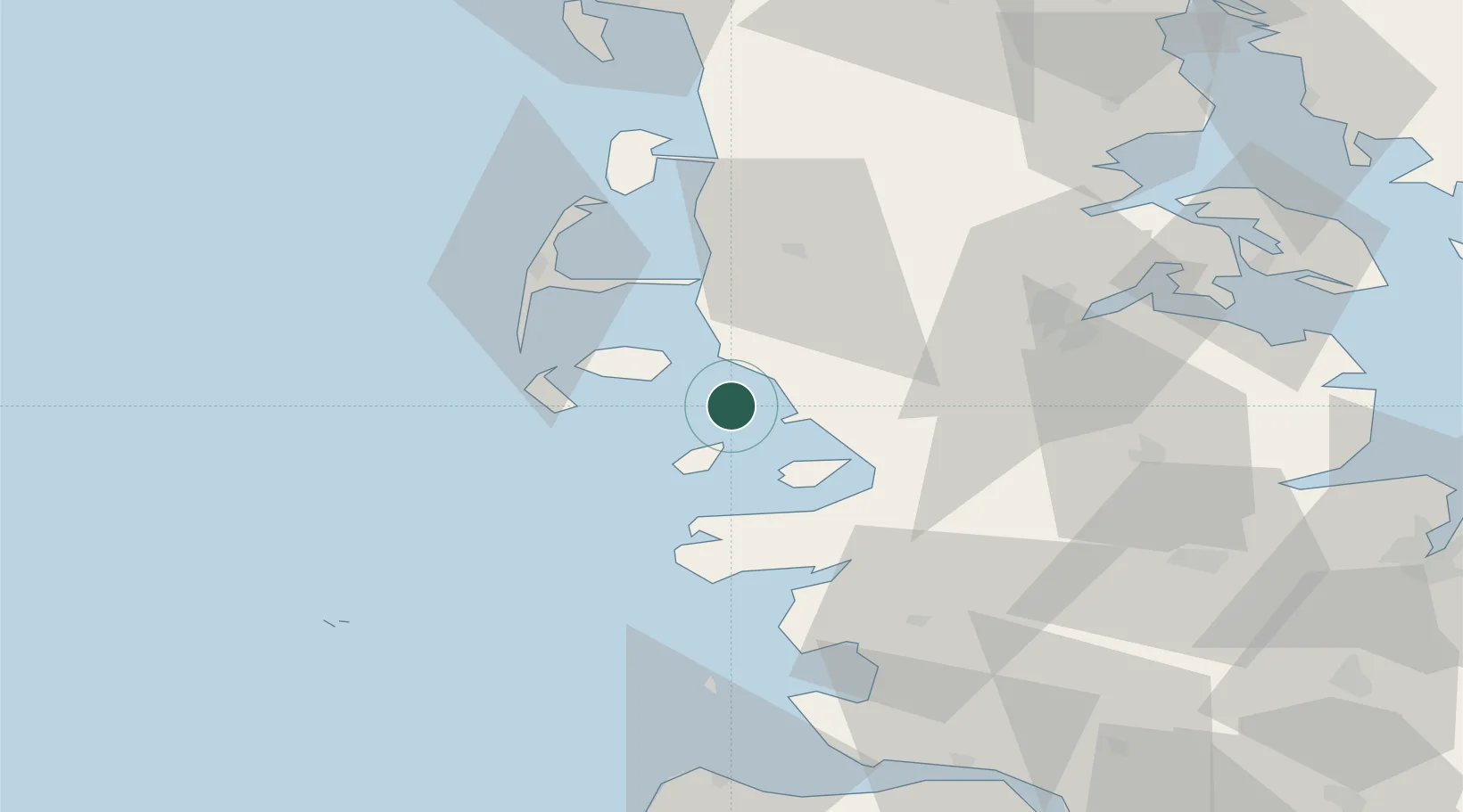
Nearby Logistics Neighbours

Cities
  1. 1Schluettsiel6 km
  2. 2Hooge13 km
  3. 3Pellworm14 km
  4. 4Risum-Lindholm16 km
  5. 5Nordstrand18 km
Nearest neighbours — logibook spatial index (haversine) over the source coordinates
Ports
  1. 1Husum27 km
  2. 2Flensburg50 km
  3. 3Busum56 km
  4. 4Ensted63 km
  5. 5Abenra65 km
Nearest neighbours — logibook spatial index (haversine) over the source coordinates
Airports
  1. 1Westerland Sylt Airport39 km
  2. 2Heide-Büsum Airport55 km
  3. 3Schleswig Air Base55 km
  4. 4Hohn Air Base64 km
  5. 5Helgoland-Düne Airport72 km
Nearest neighbours — logibook spatial index (haversine) over the source coordinates
Trade Zones
  1. 1Freeport of Cuxhaven (Freihafen Cuxhaven)90 km
  2. 2Freeport of Kiel100 km
  3. 3Freeport of Bremerhaven (Freihafen Bremerhaven)172 km
  4. 4Freeport of Emden176 km
  5. 5Freeport of Copenhagen- Nordhavn274 km
Nearest neighbours — logibook spatial index (haversine) over the source coordinates
DatabookThe Record of Consolidated Knowledge
Germany beyond logistics?
Browse databook

All Sources

LocationsUN/LOCODE
UN/LOCODE — free
LocationsGeoNames
CC BY 4.0
Portsthe NGA World Port Index
Public domain (US gov)
AirportsOurAirports
Public domain
Trade Zonesthe World Bank SEZ database
CC BY 4.0
Trade ZonesOpen Zone Map
CC BY
← Germany locations