Transport Functions
Rail
Road
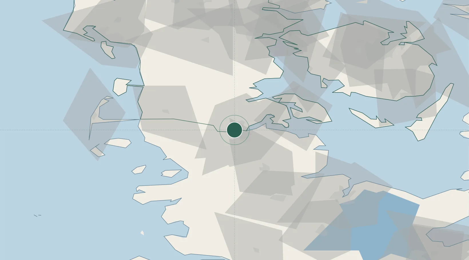
Hub Profile
Place type
Populated place
Region
South Denmark
Population
4,311
Time zone
Europe/Copenhagen
Elevation
47 m
Logistics facilities
1
Location
Nearby Logistics Neighbours
Cities
- 1Flensburg6 km
- 2Jarplund11 km
- 3Glücksburg13 km
- 4Langballig18 km
- 5Enstedværket Havn23 km
Ports
- 1Flensburg6 km
- 2Ensted23 km
- 3Abenra27 km
- 4Sonderborg30 km
- 5Augustenborg36 km
Airports
- 1Sønderborg Airport33 km
- 2Schleswig Air Base41 km
- 3Skrydstrup Air Base45 km
- 4Hohn Air Base57 km
- 5Westerland Sylt Airport66 km
Trade Zones
DatabookThe Record of Consolidated Knowledge
Denmark beyond logistics?