Transport Functions
Multimodal
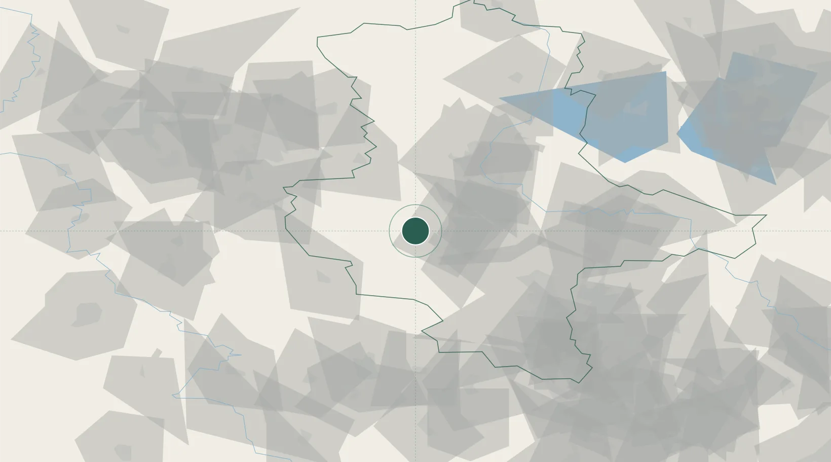
Hub Profile
Place type
Locality
Region
Mecklenburg-Vorpommern
Time zone
Europe/Berlin
Elevation
7 m
Location
Nearby Logistics Neighbours
Cities
- 1Hoym2 km
- 2Rieder10 km
- 3Cochstedt15 km
- 4Wegeleben16 km
- 5Grossörner21 km
Airports
- 1Zerbst Airfield64 km
- 2Leipzig/Halle Airport75 km
- 3Braunschweig-Wolfsburg Airport80 km
- 4Erfurt-Weimar Airport91 km
- 5Eisenach-Kindel Airport103 km
Trade Zones
DatabookThe Record of Consolidated Knowledge
Germany beyond logistics?