Transport Functions
Rail
Road
Hub Profile
Place type
Local administrative seat
Region
Saxony-Anhalt
Population
2,026
Time zone
Europe/Berlin
Elevation
193 m
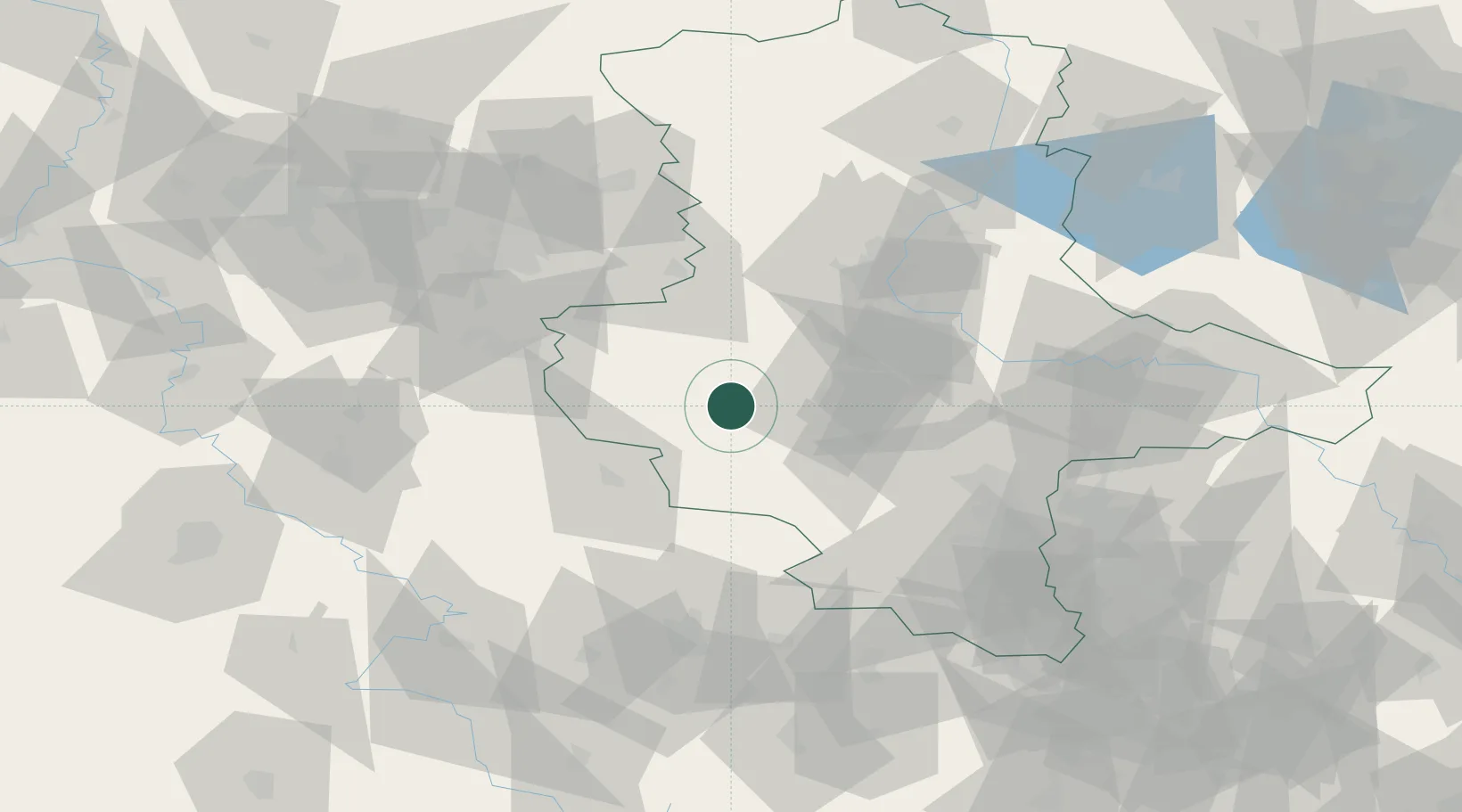
Location
Nearby Logistics Neighbours
Cities
- 1Seeland10 km
- 2Hoym11 km
- 3Strassberg15 km
- 4Blankenburg16 km
- 5Wegeleben17 km
Airports
- 1Zerbst Airfield74 km
- 2Braunschweig-Wolfsburg Airport77 km
- 3Leipzig/Halle Airport82 km
- 4Erfurt-Weimar Airport85 km
- 5Eisenach-Kindel Airport95 km
Trade Zones
DatabookThe Record of Consolidated Knowledge
Germany beyond logistics?