Transport Functions
Rail
Road
Hub Profile
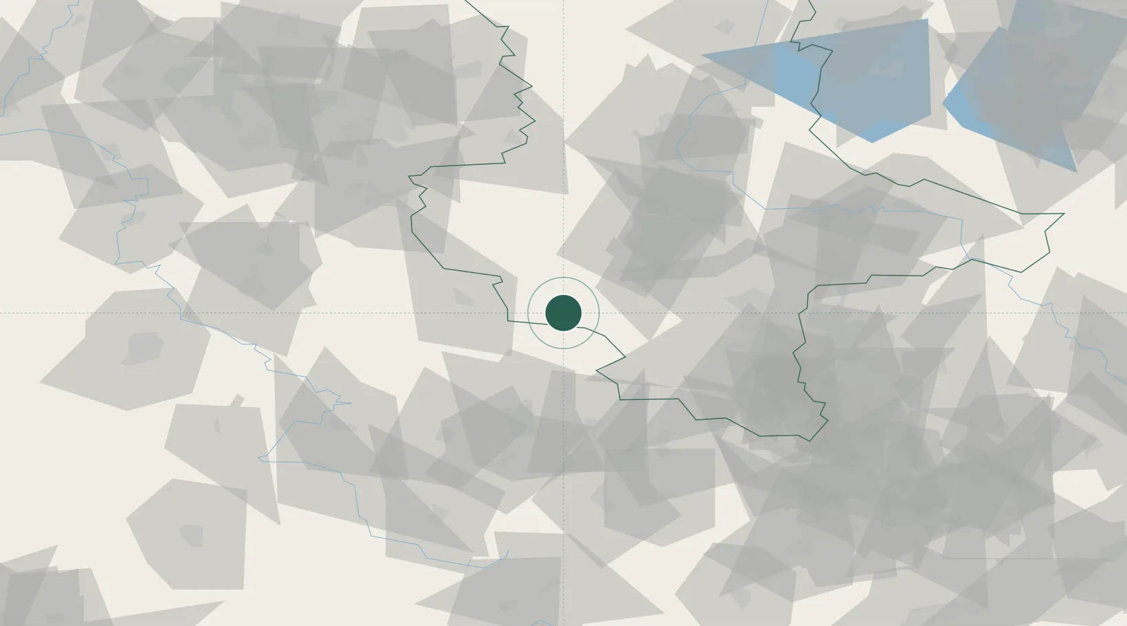
Place type
Local administrative seat
Region
Saxony-Anhalt
Population
2,189
Time zone
Europe/Berlin
Elevation
144 m
Location
Nearby Logistics Neighbours
Cities
- 1Artern12 km
- 2Strassberg21 km
- 3Helbra24 km
- 4Leimbach24 km
- 5Sondershausen25 km
Airports
- 1Erfurt-Weimar Airport55 km
- 2Eisenach-Kindel Airport72 km
- 3Leipzig/Halle Airport72 km
- 4Zerbst Airfield90 km
- 5Leipzig–Altenburg Airport105 km
Trade Zones
DatabookThe Record of Consolidated Knowledge
Germany beyond logistics?