Transport Functions
Rail
Road
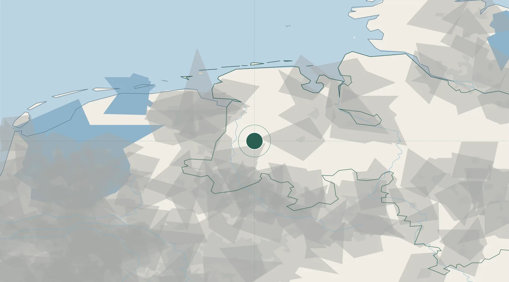
Hub Profile
Place type
Local administrative seat
Region
Lower Saxony
Population
6,825
Time zone
Europe/Berlin
Elevation
53 m
Location
Nearby Logistics Neighbours
Cities
- 1Lahn8 km
- 2Lähden12 km
- 3Lorup13 km
- 4Lathen14 km
- 5Fresenburg15 km
Airports
- 1Diepholz Air Base63 km
- 2Emden Airport63 km
- 3Groningen Airport Eelde70 km
- 4Twente Airport77 km
- 5Wittmundhafen Air Base78 km
Trade Zones
DatabookThe Record of Consolidated Knowledge
Germany beyond logistics?