Transport Functions
Multimodal
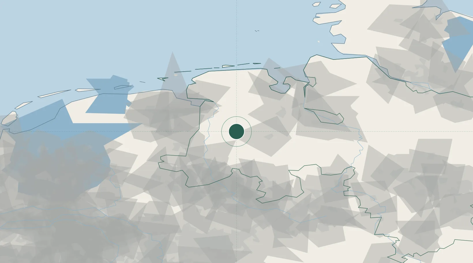
Hub Profile
Place type
Local administrative seat
Region
Lower Saxony
Population
2,986
Time zone
Europe/Berlin
Elevation
40 m
Location
Nearby Logistics Neighbours
Cities
- 1Neuscharrel13 km
- 2Sögel13 km
- 3Lahn13 km
- 4Börgemoor14 km
- 5Sedelsberg15 km
Airports
- 1Emden Airport58 km
- 2Diepholz Air Base61 km
- 3Wittmundhafen Air Base68 km
- 4Groningen Airport Eelde75 km
- 5Bremen Airport77 km
Trade Zones
DatabookThe Record of Consolidated Knowledge
Germany beyond logistics?