UN/LOCODE hub · Germany
DEFRE

Fresenburg

52.8833°, 7.3000°
908
Population
2
Transport functions

Transport Functions

Port
Road
UN/LOCODE

Hub Profile

Place type
Local administrative seat
GeoNames
Region
Lower Saxony
GeoNames
Population
908
GeoNames
Time zone
Europe/Berlin
GeoNames
Elevation
9 m
GeoNames

Location

Location of DEFRE
Natural Earth 10m (public domain) · Lower Saxony · DEFRE · 52.88, 7.30GoogleOSMYandex

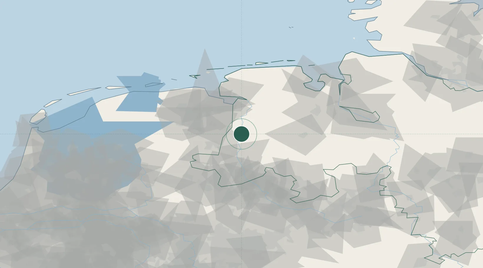
Nearby Logistics Neighbours

Cities
  1. 1Lathen2 km
  2. 2Niederlangen4 km
  3. 3Walchum6 km
  4. 4Dörpen8 km
  5. 5Dersum9 km
Nearest neighbours — logibook spatial index (haversine) over the source coordinates
Ports
  1. 1Papenburg25 km
  2. 2Leer40 km
  3. 3Emden51 km
  4. 4Delfzijl56 km
  5. 5Oldenburg67 km
Nearest neighbours — logibook spatial index (haversine) over the source coordinates
Airports
  1. 1Groningen Airport Eelde55 km
  2. 2Emden Airport57 km
  3. 3Twente Airport73 km
  4. 4Diepholz Air Base78 km
  5. 5Wittmundhafen Air Base78 km
Nearest neighbours — logibook spatial index (haversine) over the source coordinates
Trade Zones
  1. 1Freeport of Emden51 km
  2. 2Freeport of Bremerhaven (Freihafen Bremerhaven)101 km
  3. 3Freeport of Cuxhaven (Freihafen Cuxhaven)134 km
  4. 4Freeport of Duisburg167 km
  5. 5Rheinische Revier SWZ228 km
Nearest neighbours — logibook spatial index (haversine) over the source coordinates
DatabookThe Record of Consolidated Knowledge
Germany beyond logistics?
Browse databook

All Sources

LocationsUN/LOCODE
UN/LOCODE — free
LocationsGeoNames
CC BY 4.0
Portsthe NGA World Port Index
Public domain (US gov)
AirportsOurAirports
Public domain
Trade Zonesthe World Bank SEZ database
CC BY 4.0
Trade ZonesOpen Zone Map
CC BY
← Germany locations