Transport Functions
Port
Rail
Road
Hub Profile
Region
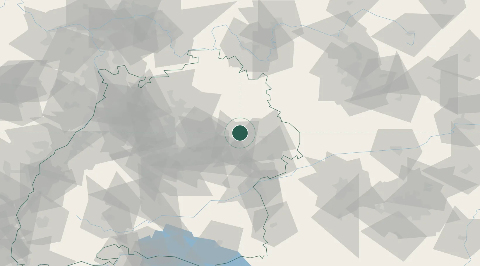
BW
Location
Nearby Logistics Neighbours
Cities
- 1Eschach (bei Schwäbisch Gmünd)6 km
- 2Gschwend7 km
- 3Spraitbach8 km
- 4Bühlerzell9 km
- 5Schechingen9 km
Ports
- 1Nogaro432 km
- 2Porto Di Lido-Venezia437 km
- 3Grado444 km
- 4Monfalcone448 km
- 5Bruxelles449 km
Airports
- 1Adolf Würth Airport21 km
- 2Niederstetten Army Air Base52 km
- 3Stuttgart Airport53 km
- 4Laupheim Air Base79 km
- 5Augsburg Airport98 km
Trade Zones
- 1ZFU Neuhof159 km
- 2ZFU Hautepierre163 km
- 3ZFU La Cité Behren-lès-Forbach215 km
- 4ZFU Mulhouse228 km
- 5ZFU Belfort267 km
DatabookThe Record of Consolidated Knowledge
Germany beyond logistics?