Transport Functions
Multimodal
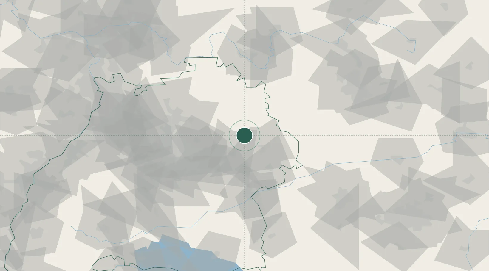
Hub Profile
Place type
Local administrative seat
Region
Baden-Wurttemberg
Population
2,044
Time zone
Europe/Berlin
Elevation
396 m
Location
Nearby Logistics Neighbours
Cities
- 1Sulzbach-Laufen9 km
- 2Frankenhardt11 km
- 3Abtsgmünd13 km
- 4Neuler13 km
- 5Eschach (bei Schwäbisch Gmünd)14 km
Ports
- 1Nogaro436 km
- 2Porto Di Lido-Venezia441 km
- 3Grado447 km
- 4Bruxelles449 km
- 5Monfalcone450 km
Airports
- 1Adolf Würth Airport16 km
- 2Niederstetten Army Air Base44 km
- 3Stuttgart Airport61 km
- 4Laupheim Air Base87 km
- 5Augsburg Airport98 km
Trade Zones
- 1ZFU Neuhof166 km
- 2ZFU Hautepierre169 km
- 3ZFU La Cité Behren-lès-Forbach219 km
- 4ZFU Mulhouse236 km
- 5ZFU Metz274 km
DatabookThe Record of Consolidated Knowledge
Germany beyond logistics?