Transport Functions
Multimodal
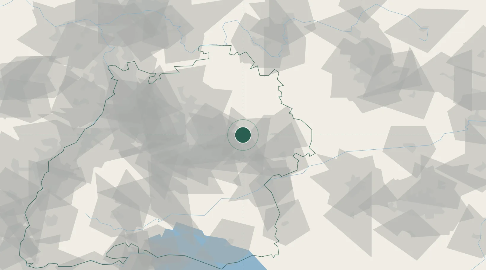
Hub Profile
Place type
Local administrative seat
Region
Baden-Wurttemberg
Population
3,550
Time zone
Europe/Berlin
Elevation
540 m
Location
Nearby Logistics Neighbours
Cities
- 1Durlangen4 km
- 2Gschwend6 km
- 3Eschach (bei Schwäbisch Gmünd)7 km
- 4Sulzbach-Laufen8 km
- 5Schwäbisch Gmünd9 km
Ports
- 1Nogaro432 km
- 2Porto Di Lido-Venezia435 km
- 3Grado443 km
- 4Bruxelles446 km
- 5Monfalcone447 km
Airports
- 1Adolf Würth Airport26 km
- 2Stuttgart Airport45 km
- 3Niederstetten Army Air Base58 km
- 4Laupheim Air Base75 km
- 5Mengen-Hohentengen Airfield97 km
Trade Zones
- 1ZFU Neuhof152 km
- 2ZFU Hautepierre156 km
- 3ZFU La Cité Behren-lès-Forbach209 km
- 4ZFU Mulhouse220 km
- 5ZFU Belfort259 km
DatabookThe Record of Consolidated Knowledge
Germany beyond logistics?