Transport Functions
Multimodal
Hub Profile
Place type
Local administrative seat
Region
Baden-Wurttemberg
Population
5,092
Time zone
Europe/Berlin
Elevation
473 m
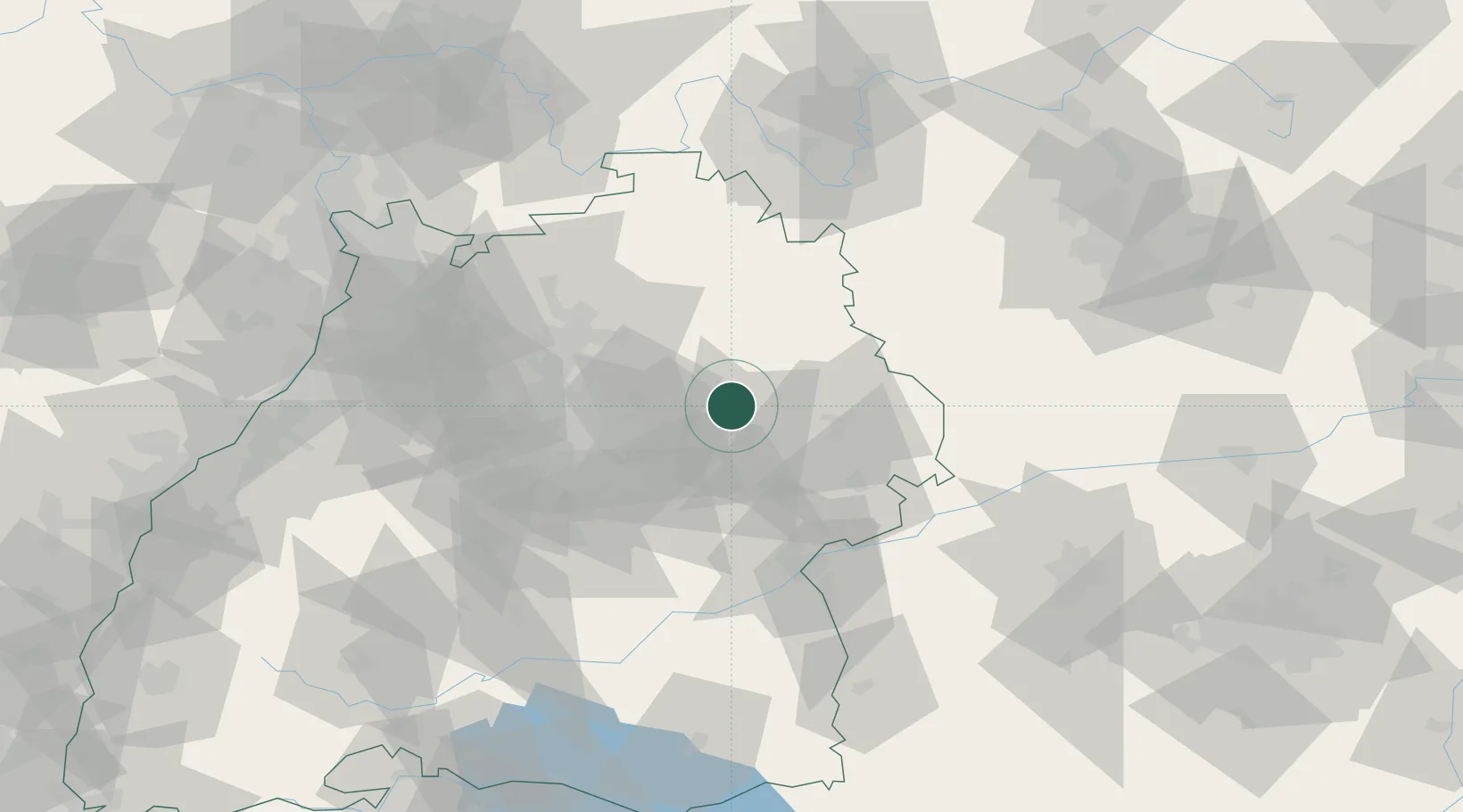
Location
Nearby Logistics Neighbours
Cities
- 1Spraitbach6 km
- 2Fichtenberg7 km
- 3Sulzbach-Laufen7 km
- 4Durlangen10 km
- 5Eschach (bei Schwäbisch Gmünd)10 km
Ports
- 1Nogaro437 km
- 2Porto Di Lido-Venezia440 km
- 3Bruxelles442 km
- 4Grado448 km
- 5Monfalcone452 km
Airports
- 1Adolf Würth Airport21 km
- 2Stuttgart Airport47 km
- 3Niederstetten Army Air Base53 km
- 4Laupheim Air Base80 km
- 5Mengen-Hohentengen Airfield102 km
Trade Zones
- 1ZFU Neuhof152 km
- 2ZFU Hautepierre155 km
- 3ZFU La Cité Behren-lès-Forbach207 km
- 4ZFU Mulhouse222 km
- 5ZFU Belfort261 km
DatabookThe Record of Consolidated Knowledge
Germany beyond logistics?