Transport Functions
Port
Road
Hub Profile
Place type
Local administrative seat
Region
Baden-Wurttemberg
Population
2,484
Time zone
Europe/Berlin
Elevation
484 m
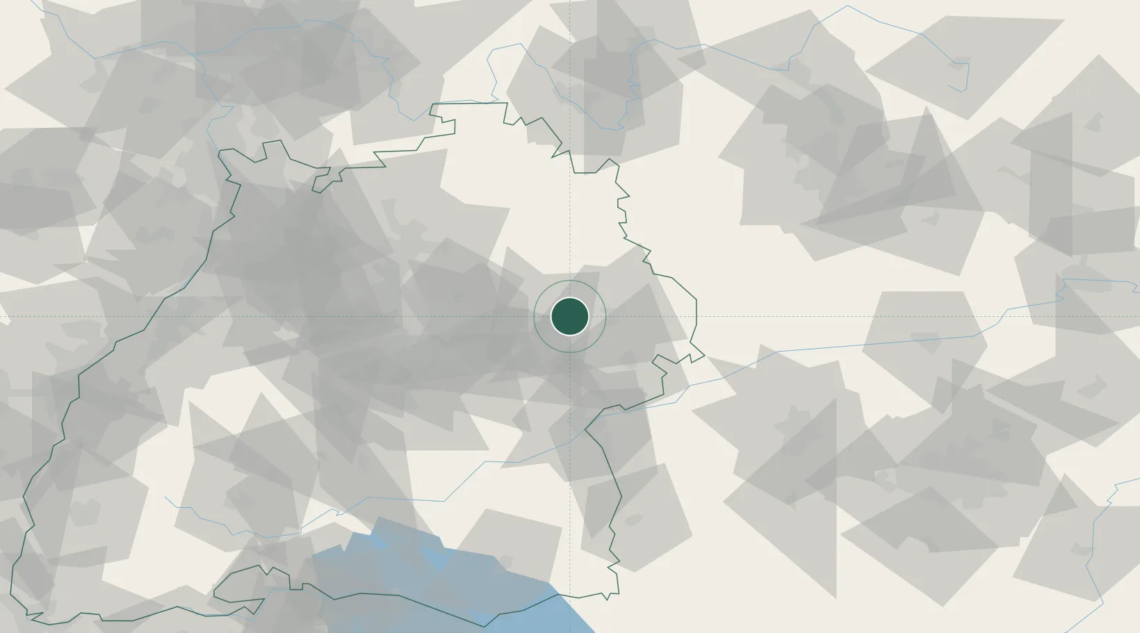
Location
Nearby Logistics Neighbours
Cities
- 1Eschach (bei Schwäbisch Gmünd)4 km
- 2Mögglingen7 km
- 3Abtsgmünd7 km
- 4Durlangen9 km
- 5Sulzbach-Laufen9 km
Ports
- 1Nogaro424 km
- 2Porto Di Lido-Venezia428 km
- 3Grado435 km
- 4Monfalcone439 km
- 5Porto Di Chioggia443 km
Airports
- 1Adolf Würth Airport30 km
- 2Stuttgart Airport55 km
- 3Niederstetten Army Air Base58 km
- 4Laupheim Air Base72 km
- 5Augsburg Airport89 km
Trade Zones
- 1ZFU Neuhof162 km
- 2ZFU Hautepierre166 km
- 3ZFU La Cité Behren-lès-Forbach221 km
- 4ZFU Mulhouse228 km
- 5Livigno Free Trade Zone260 km
DatabookThe Record of Consolidated Knowledge
Germany beyond logistics?