Transport Functions
Multimodal
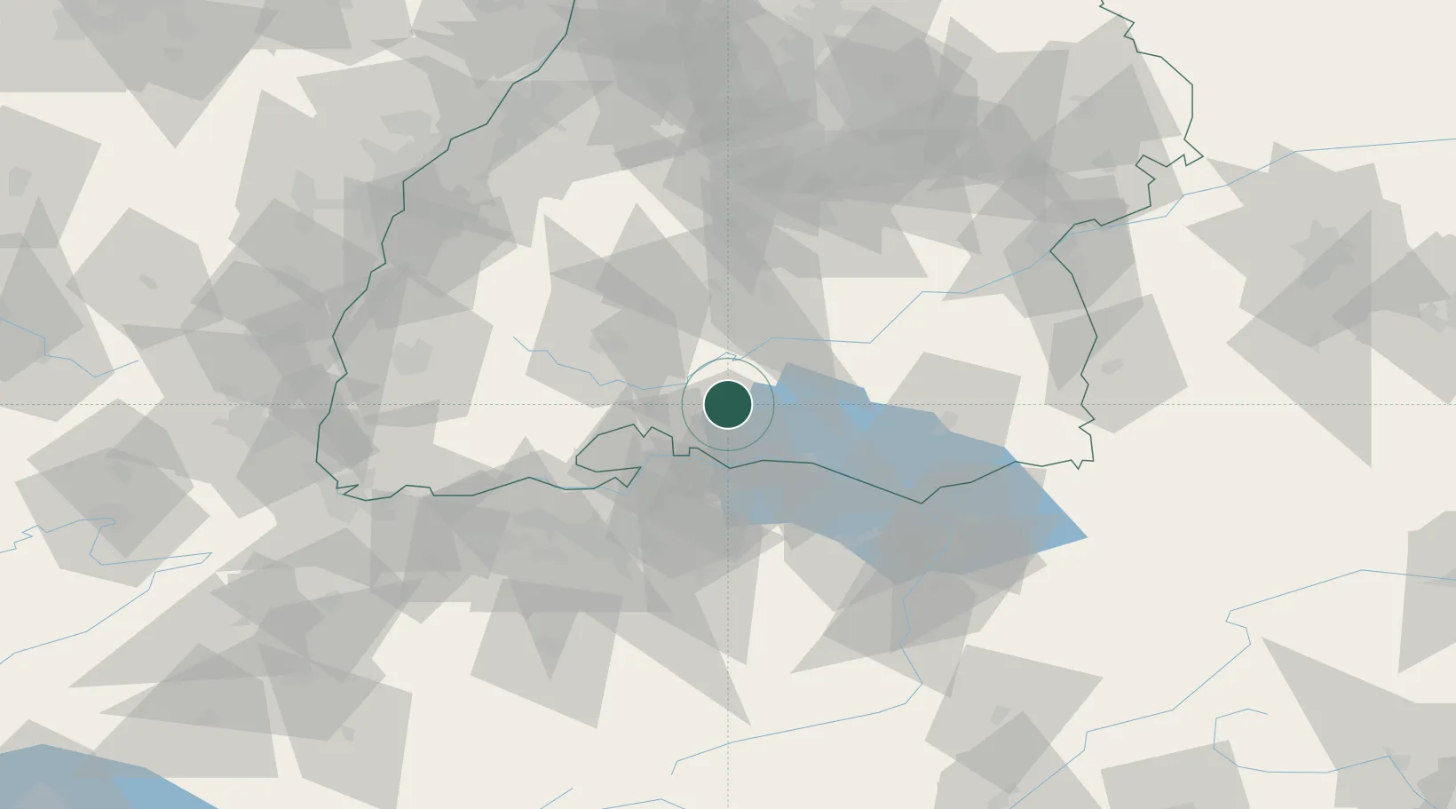
Hub Profile
Place type
Local administrative seat
Region
Baden-Wurttemberg
Population
3,444
Time zone
Europe/Berlin
Elevation
482 m
Location
Nearby Logistics Neighbours
Cities
- 1Orsingen-Nenzingen6 km
- 2Malmsheim8 km
- 3Steisslingen8 km
- 4Mühlhausen-Ehingen8 km
- 5Stockach9 km
Ports
- 1Porto Di Lido-Venezia383 km
- 2Genova386 km
- 3Porto Di Chioggia392 km
- 4Savona396 km
- 5Chiavari - Lavagna397 km
Airports
Trade Zones
- 1ZFU Neuhof113 km
- 2ZFU Mulhouse118 km
- 3ZFU Hautepierre121 km
- 4ZFU Belfort158 km
- 5ZFU Montbéliard163 km
DatabookThe Record of Consolidated Knowledge
Germany beyond logistics?