Transport Functions
Multimodal
Hub Profile
Place type
Local administrative seat
Region
Baden-Wurttemberg
Population
4,457
Time zone
Europe/Berlin
Elevation
465 m
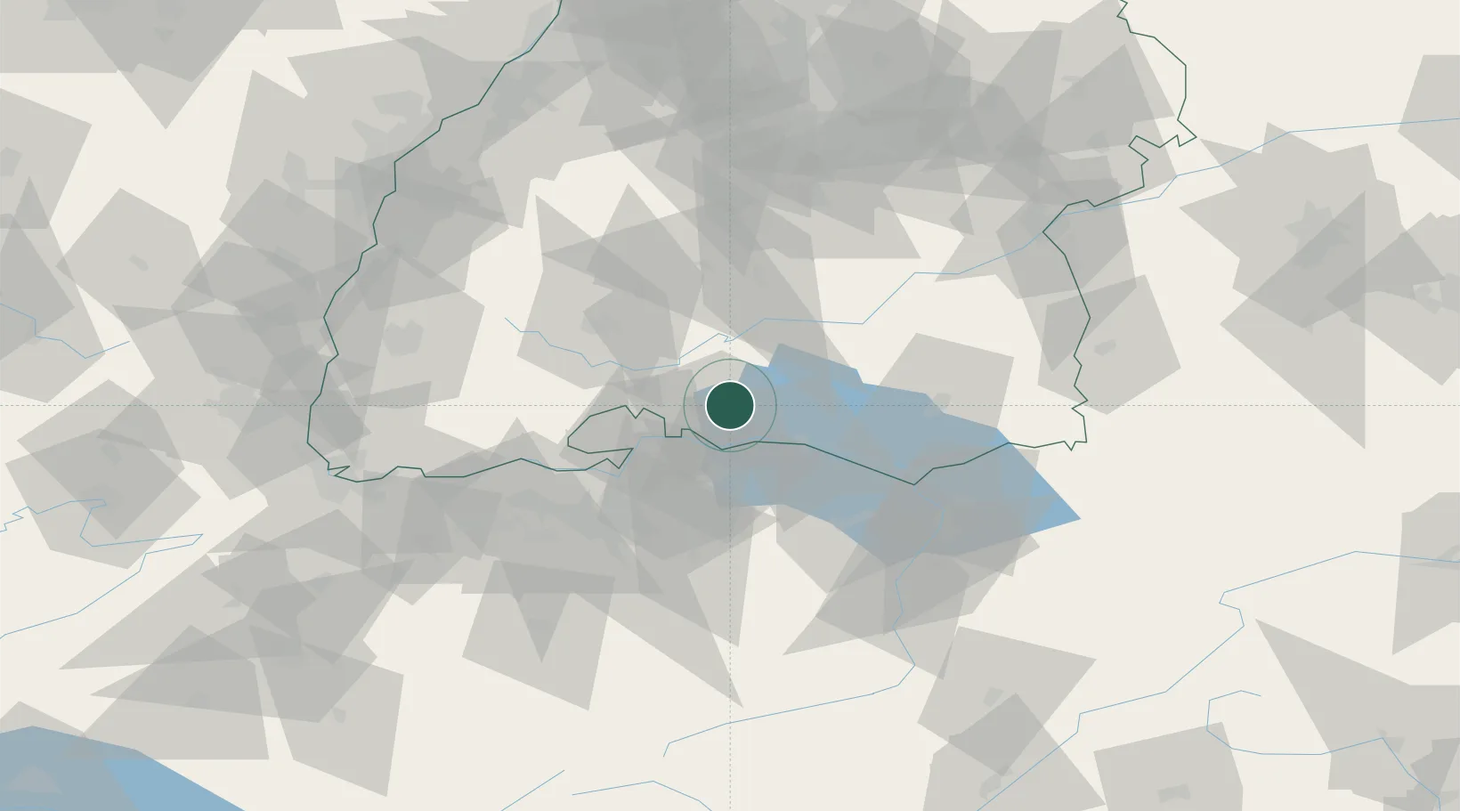
Location
Nearby Logistics Neighbours
Cities
- 1Malmsheim1 km
- 2Orsingen-Nenzingen5 km
- 3Singen7 km
- 4Eigeltingen8 km
- 5Stockach8 km
Ports
- 1Porto Di Lido-Venezia376 km
- 2Genova378 km
- 3Porto Di Chioggia384 km
- 4Savona389 km
- 5Chiavari - Lavagna390 km
Airports
Trade Zones
- 1ZFU Mulhouse120 km
- 2ZFU Neuhof120 km
- 3ZFU Hautepierre128 km
- 4ZFU Belfort160 km
- 5ZFU Montbéliard164 km
DatabookThe Record of Consolidated Knowledge
Germany beyond logistics?