Transport Functions
Rail
Road
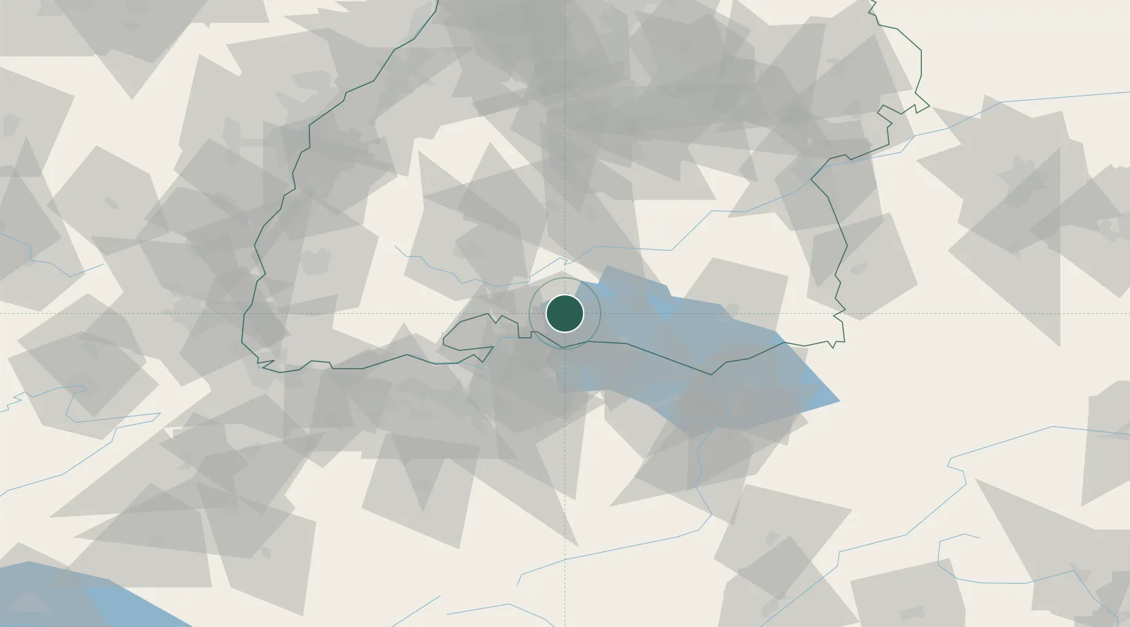
Hub Profile
Place type
Populated place
Region
Baden-Wurttemberg
Time zone
Europe/Berlin
Elevation
399 m
Location
Nearby Logistics Neighbours
Cities
- 1Steisslingen1 km
- 2Orsingen-Nenzingen5 km
- 3Singen6 km
- 4Eigeltingen8 km
- 5Mühlhausen-Ehingen8 km
Ports
- 1Porto Di Lido-Venezia377 km
- 2Genova378 km
- 3Porto Di Chioggia385 km
- 4Savona389 km
- 5Chiavari - Lavagna390 km
Airports
Trade Zones
- 1ZFU Mulhouse118 km
- 2ZFU Neuhof119 km
- 3ZFU Hautepierre127 km
- 4ZFU Belfort159 km
- 5ZFU Montbéliard163 km
DatabookThe Record of Consolidated Knowledge
Germany beyond logistics?