Transport Functions
Multimodal
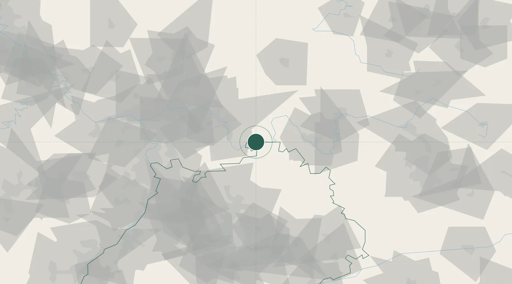
Hub Profile
Place type
Populated place
Region
Bavaria
Population
1,702
Time zone
Europe/Berlin
Elevation
152 m
Location
Nearby Logistics Neighbours
Cities
- 1Faulbach1 km
- 2Hasloch5 km
- 3Segnitz9 km
- 4Grossheubach14 km
- 5Erlenbach bei Marktheidenfeld16 km
Airports
- 1Niederstetten Army Air Base58 km
- 2Frankfurt-Egelsbach Airport59 km
- 3Frankfurt Main Airport67 km
- 4Mannheim-City Airport74 km
- 5Adolf Würth Airport79 km
Trade Zones
- 1ZFU Hautepierre182 km
- 2ZFU Neuhof183 km
- 3ZFU La Cité Behren-lès-Forbach192 km
- 4Luxembourg Free Port230 km
- 5ZFU Woippy-Metz246 km
DatabookThe Record of Consolidated Knowledge
Germany beyond logistics?