Transport Functions
Multimodal
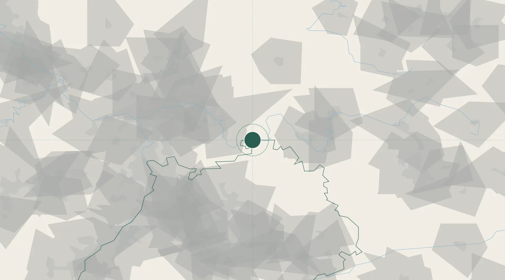
Hub Profile
Place type
Local administrative seat
Region
Bavaria
Population
2,784
Time zone
Europe/Berlin
Elevation
140 m
Location
Nearby Logistics Neighbours
Cities
- 1Stadtprozelten1 km
- 2Hasloch4 km
- 3Segnitz10 km
- 4Erlenbach bei Marktheidenfeld15 km
- 5Grossheubach15 km
Airports
- 1Niederstetten Army Air Base58 km
- 2Frankfurt-Egelsbach Airport60 km
- 3Frankfurt Main Airport68 km
- 4Mannheim-City Airport75 km
- 5Adolf Würth Airport78 km
Trade Zones
- 1ZFU Hautepierre183 km
- 2ZFU Neuhof184 km
- 3ZFU La Cité Behren-lès-Forbach194 km
- 4Luxembourg Free Port231 km
- 5ZFU Woippy-Metz248 km
DatabookThe Record of Consolidated Knowledge
Germany beyond logistics?