Transport Functions
Rail
Road
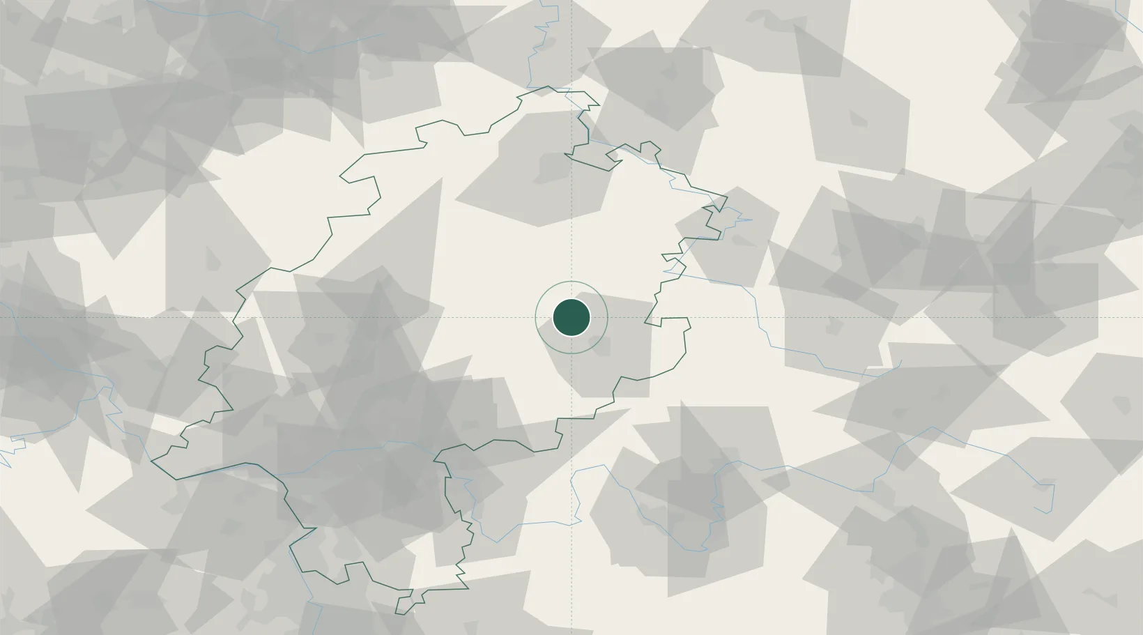
Hub Profile
Place type
Populated place
Region
Hesse
Population
10,258
Time zone
Europe/Berlin
Elevation
243 m
Location
Nearby Logistics Neighbours
Cities
- 1Grossenlüder10 km
- 2Angersbach11 km
- 3Burghaun11 km
- 4Grebenau12 km
- 5Lauterbach12 km
Airports
- 1Fritzlar Army Airfield54 km
- 2Eisenach-Kindel Airport74 km
- 3Kassel Airport85 km
- 4Frankfurt Main Airport101 km
- 5Frankfurt-Egelsbach Airport102 km
Trade Zones
- 1Freeport of Duisburg226 km
- 2Rheinische Revier SWZ226 km
- 3ZFU La Cité Behren-lès-Forbach252 km
- 4Luxembourg Free Port264 km
- 5ZFU Hautepierre267 km
DatabookThe Record of Consolidated Knowledge
Germany beyond logistics?