Transport Functions
Rail
Road
Hub Profile
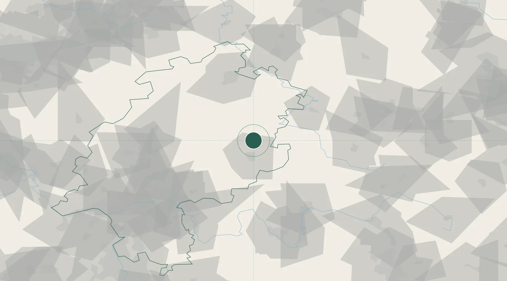
Place type
Local administrative seat
Region
Hesse
Population
6,713
Time zone
Europe/Berlin
Elevation
252 m
Location
Nearby Logistics Neighbours
Cities
- 1Neukirchen8 km
- 2Eiterfeld10 km
- 3Schlitz11 km
- 4Hauneck13 km
- 5Niederaula14 km
Airports
- 1Fritzlar Army Airfield55 km
- 2Eisenach-Kindel Airport63 km
- 3Kassel Airport83 km
- 4Erfurt-Weimar Airport93 km
- 5Frankfurt Main Airport111 km
Trade Zones
- 1Freeport of Duisburg234 km
- 2Rheinische Revier SWZ236 km
- 3ZFU La Cité Behren-lès-Forbach263 km
- 4Podbořany Industrial Zone266 km
- 5Žatec - Triangle Strategic Industrial Zone271 km
DatabookThe Record of Consolidated Knowledge
Germany beyond logistics?