Transport Functions
Rail
Road
Hub Profile
Place type
Local administrative seat
Region
Hesse
Population
8,768
Time zone
Europe/Berlin
Elevation
257 m
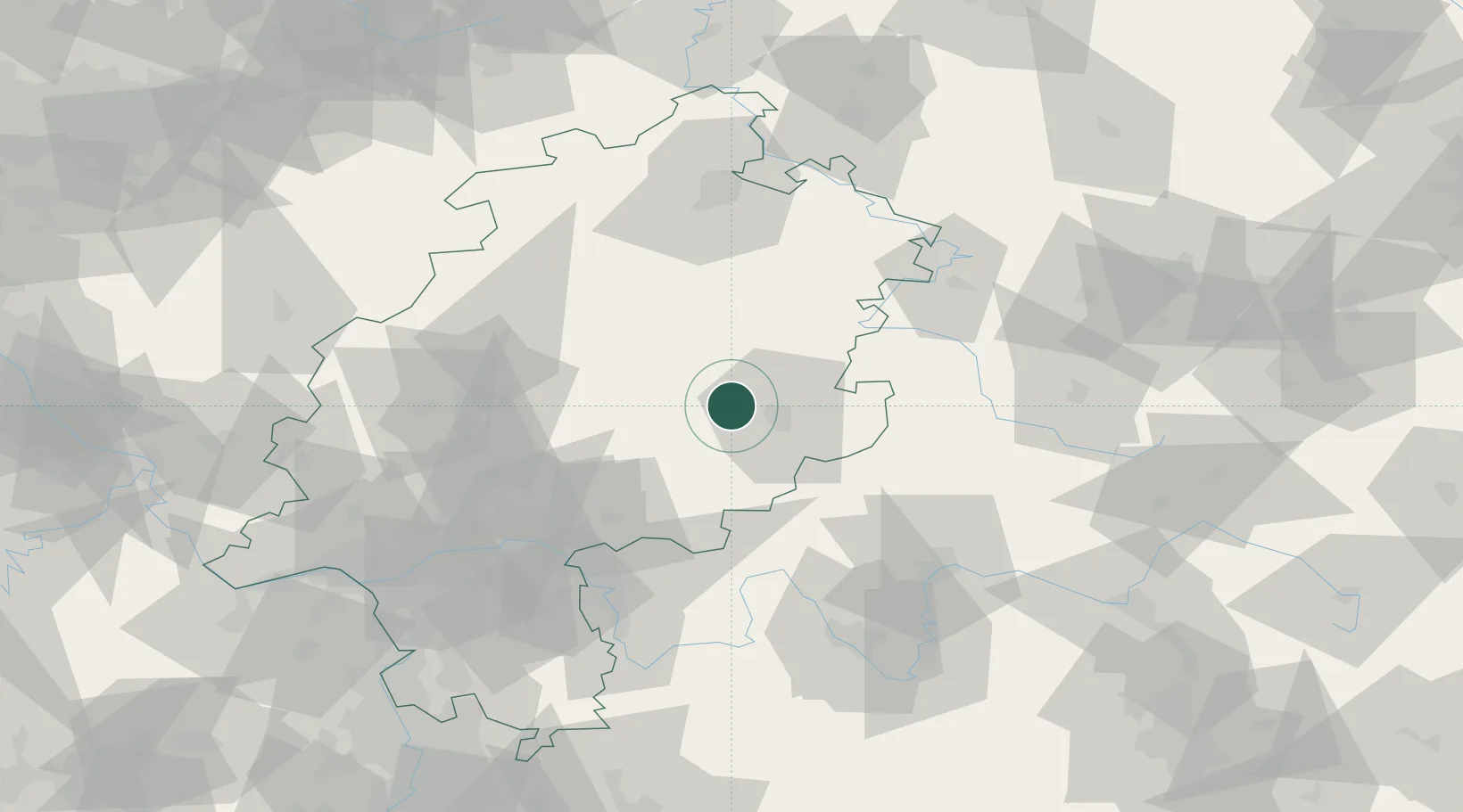
Location
Nearby Logistics Neighbours
Cities
- 1Angersbach8 km
- 2Schlitz10 km
- 3Lauterbach11 km
- 4Neuhof18 km
- 5Burghaun18 km
Airports
- 1Fritzlar Army Airfield62 km
- 2Eisenach-Kindel Airport81 km
- 3Frankfurt Main Airport93 km
- 4Kassel Airport93 km
- 5Frankfurt-Egelsbach Airport94 km
Trade Zones
- 1Rheinische Revier SWZ225 km
- 2Freeport of Duisburg227 km
- 3ZFU La Cité Behren-lès-Forbach244 km
- 4ZFU Hautepierre258 km
- 5Luxembourg Free Port258 km
DatabookThe Record of Consolidated Knowledge
Germany beyond logistics?