Transport Functions
Multimodal
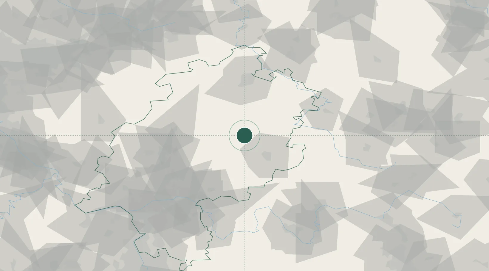
Hub Profile
Place type
Populated place
Region
Hesse
Population
2,728
Time zone
Europe/Berlin
Elevation
264 m
Location
Nearby Logistics Neighbours
Cities
- 1Niederaula11 km
- 2Oberaula11 km
- 3Kirchheim12 km
- 4Schlitz12 km
- 5Lauterbach14 km
Airports
- 1Fritzlar Army Airfield43 km
- 2Kassel Airport75 km
- 3Eisenach-Kindel Airport76 km
- 4Siegerland Airport98 km
- 5Frankfurt Main Airport103 km
Trade Zones
- 1Freeport of Duisburg215 km
- 2Rheinische Revier SWZ218 km
- 3ZFU La Cité Behren-lès-Forbach253 km
- 4Luxembourg Free Port262 km
- 5Freeport of Bremerhaven (Freihafen Bremerhaven)265 km
DatabookThe Record of Consolidated Knowledge
Germany beyond logistics?