Transport Functions
Road
Multimodal
Hub Profile
Place type
Local administrative seat
Region
Baden-Wurttemberg
Population
3,000
Time zone
Europe/Berlin
Elevation
489 m
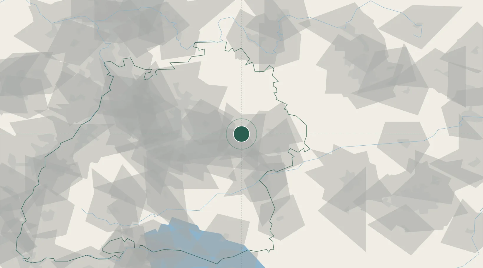
Location
Nearby Logistics Neighbours
Cities
- 1Spraitbach4 km
- 2Schwäbisch Gmünd6 km
- 3Eschach (bei Schwäbisch Gmünd)6 km
- 4Schechingen9 km
- 5Sulzbach-Laufen10 km
Ports
- 1Nogaro427 km
- 2Porto Di Lido-Venezia431 km
- 3Grado439 km
- 4Monfalcone443 km
- 5Porto Di Chioggia445 km
Airports
- 1Adolf Würth Airport30 km
- 2Stuttgart Airport46 km
- 3Niederstetten Army Air Base61 km
- 4Laupheim Air Base71 km
- 5Mengen-Hohentengen Airfield94 km
Trade Zones
- 1ZFU Neuhof153 km
- 2ZFU Hautepierre157 km
- 3ZFU La Cité Behren-lès-Forbach212 km
- 4ZFU Mulhouse220 km
- 5Livigno Free Trade Zone259 km
DatabookThe Record of Consolidated Knowledge
Germany beyond logistics?