Transport Functions
Port
Rail
Road
Hub Profile
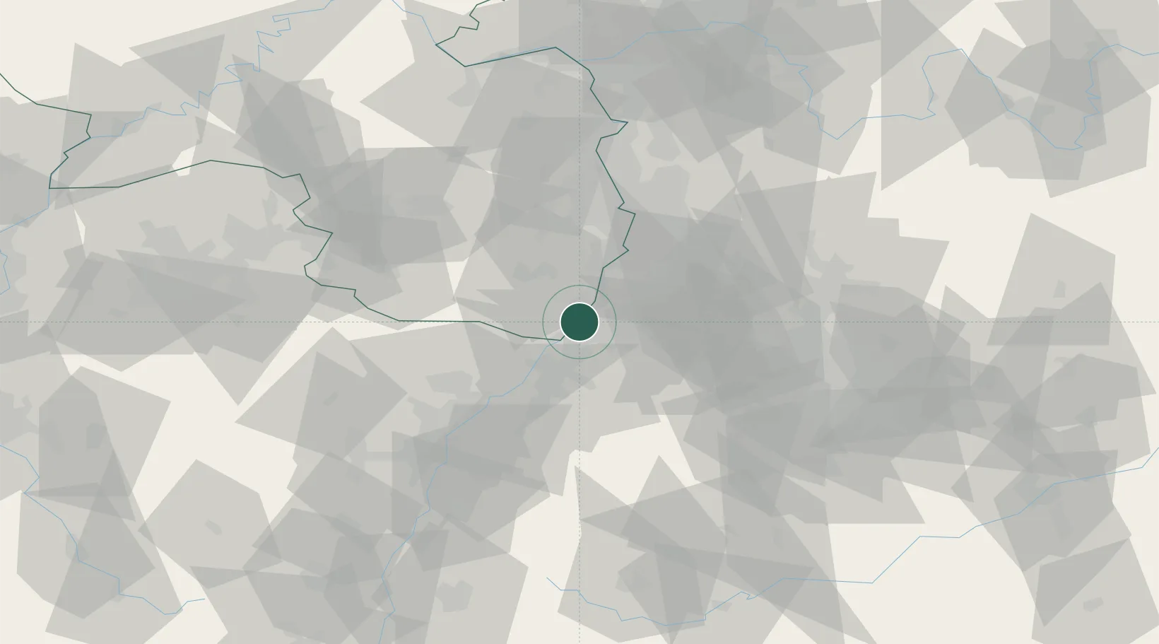
Place type
Populated place
Region
Rheinland-Pfalz
Time zone
Europe/Berlin
Elevation
105 m
Location
Nearby Logistics Neighbours
Cities
- 1Maxau1 km
- 2Wörth am Rhein3 km
- 3Karlsruhe5 km
- 4Jockgrim6 km
- 5Rheinstetten7 km
Airports
- 1Karlsruhe Baden-Baden Airport33 km
- 2Mannheim-City Airport51 km
- 3Ramstein Air Base68 km
- 4Strasbourg Airport74 km
- 5Stuttgart Airport78 km
Trade Zones
- 1ZFU Hautepierre66 km
- 2ZFU Neuhof68 km
- 3ZFU La Cité Behren-lès-Forbach101 km
- 4ZFU Metz156 km
- 5ZFU Woippy-Metz157 km
DatabookThe Record of Consolidated Knowledge
Germany beyond logistics?