Transport Functions
Road
Multimodal
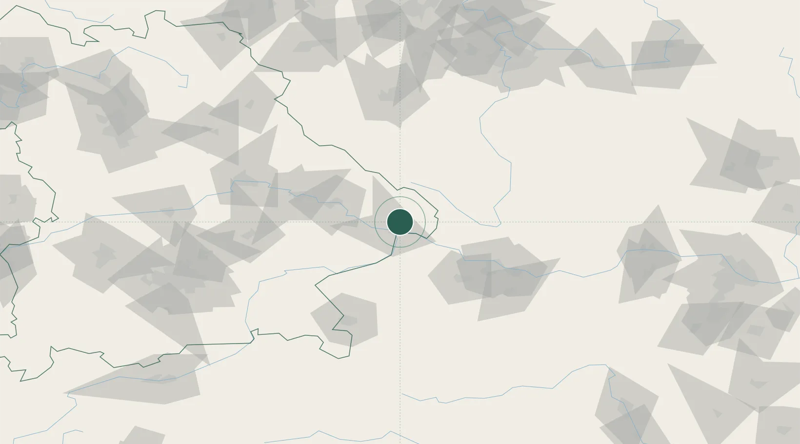
Hub Profile
Place type
Populated place
Region
Bavaria
Population
5,950
Time zone
Europe/Berlin
Elevation
460 m
Location
Nearby Logistics Neighbours
Cities
- 1Ruderting5 km
- 2Salzweg6 km
- 3Röhrnbach8 km
- 4Falkenstein9 km
- 5Passau11 km
Ports
- 1Monfalcone321 km
- 2Nogaro324 km
- 3Grado331 km
- 4Trieste336 km
- 5Muggia342 km
Airports
- 1Linz-Hörsching Airport71 km
- 2České Budějovice South Bohemian Airport76 km
- 3Salzburg Airport103 km
- 4Landshut Airfield108 km
- 5Plzeň-Líně Airport113 km
Trade Zones
DatabookThe Record of Consolidated Knowledge
Germany beyond logistics?