Transport Functions
Multimodal
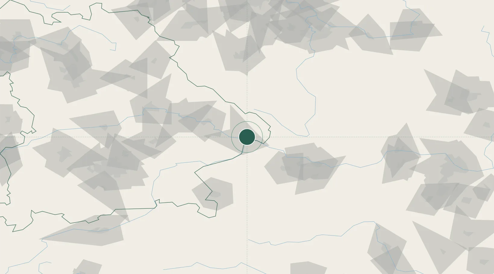
Hub Profile
Place type
Local administrative seat
Region
Bavaria
Population
6,805
Time zone
Europe/Berlin
Elevation
454 m
Location
Nearby Logistics Neighbours
Cities
- 1Hutthurm6 km
- 2Ruderting6 km
- 3Passau8 km
- 4Schalding10 km
- 5Neuburg Am Inn13 km
Ports
- 1Monfalcone315 km
- 2Nogaro319 km
- 3Grado325 km
- 4Trieste330 km
- 5Muggia336 km
Airports
- 1Linz-Hörsching Airport67 km
- 2České Budějovice South Bohemian Airport78 km
- 3Salzburg Airport98 km
- 4Landshut Airfield107 km
- 5Plzeň-Líně Airport119 km
Trade Zones
DatabookThe Record of Consolidated Knowledge
Germany beyond logistics?