Transport Functions
Rail
Road
Hub Profile
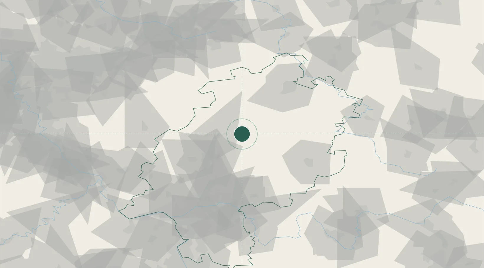
Place type
Populated place
Region
Hesse
Population
21,720
Time zone
Europe/Berlin
Elevation
241 m
Location
Nearby Logistics Neighbours
Cities
- 1Neustadt7 km
- 2Willingshausen13 km
- 3Homberg13 km
- 4Gilserberg13 km
- 5Niederweimar21 km
Airports
- 1Fritzlar Army Airfield37 km
- 2Siegerland Airport67 km
- 3Kassel Airport70 km
- 4Paderborn Lippstadt Airport91 km
- 5Frankfurt Main Airport95 km
Trade Zones
- 1Freeport of Duisburg183 km
- 2Rheinische Revier SWZ185 km
- 3ZFU La Cité Behren-lès-Forbach238 km
- 4Luxembourg Free Port239 km
- 5Freeport of Bremerhaven (Freihafen Bremerhaven)252 km
DatabookThe Record of Consolidated Knowledge
Germany beyond logistics?