Transport Functions
Port
Multimodal
Hub Profile
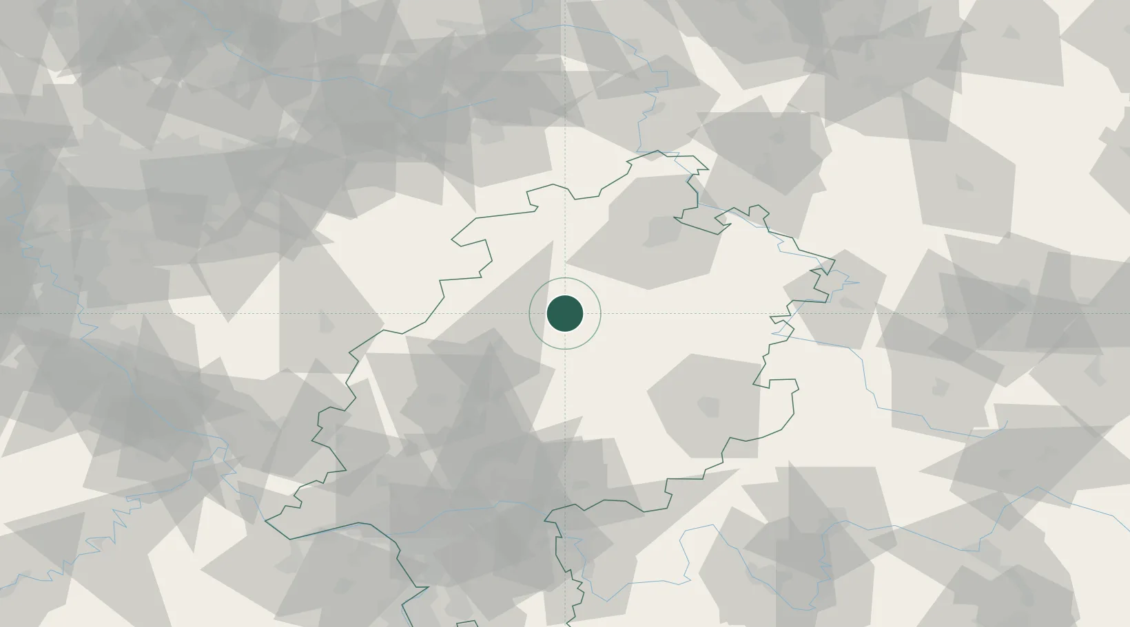
Place type
Local administrative seat
Region
Hesse
Population
3,470
Time zone
Europe/Berlin
Elevation
346 m
Location
Nearby Logistics Neighbours
Cities
- 1Neustadt12 km
- 2Stadtallendorf13 km
- 3Willingshausen15 km
- 4Borken19 km
- 5Frielendorf19 km
Airports
- 1Fritzlar Army Airfield24 km
- 2Kassel Airport57 km
- 3Siegerland Airport74 km
- 4Paderborn Lippstadt Airport80 km
- 5Eisenach-Kindel Airport99 km
Trade Zones
- 1Freeport of Duisburg181 km
- 2Rheinische Revier SWZ188 km
- 3Freeport of Bremerhaven (Freihafen Bremerhaven)239 km
- 4Luxembourg Free Port249 km
- 5ZFU La Cité Behren-lès-Forbach250 km
DatabookThe Record of Consolidated Knowledge
Germany beyond logistics?