UN/LOCODE hub · Germany
DENDT

Neustadt

50.8500°, 9.1167°
2
Transport functions

Transport Functions

Rail
Road
UN/LOCODE

Hub Profile

Place type
Urban district
GeoNames
Region
Hesse
GeoNames
Time zone
Europe/Berlin
GeoNames
Elevation
152 m
GeoNames

Location

Location of DENDT
Natural Earth 10m (public domain) · Hesse · DENDT · 50.85, 9.12GoogleOSMYandex

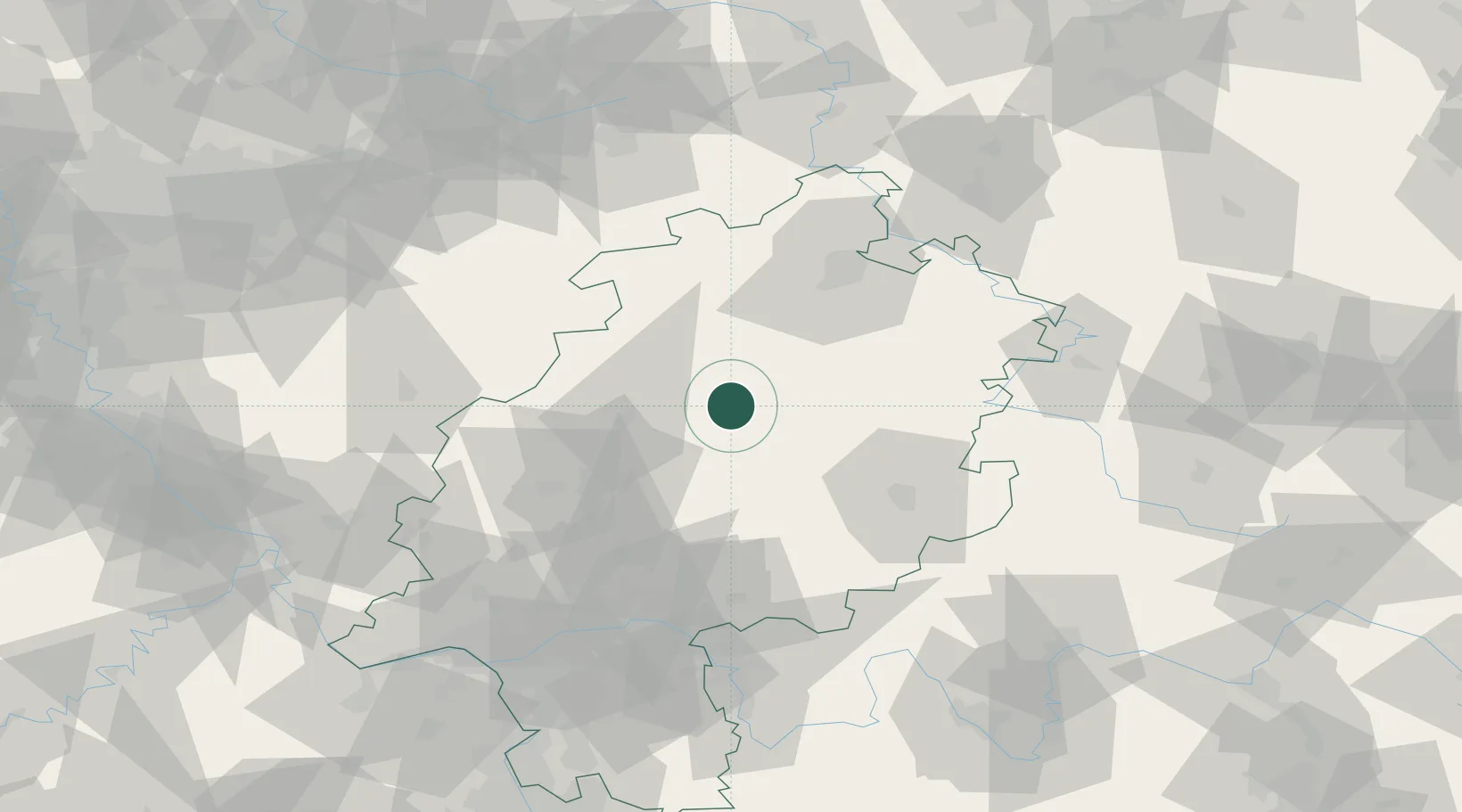
Nearby Logistics Neighbours

Cities
  1. 1Willingshausen6 km
  2. 2Stadtallendorf7 km
  3. 3Gilserberg12 km
  4. 4Homberg17 km
  5. 5Frielendorf21 km
Nearest neighbours — logibook spatial index (haversine) over the source coordinates
Ports
  1. 1Bremen255 km
  2. 2Oldenburg260 km
  3. 3Elsfleth269 km
  4. 4Papenburg277 km
  5. 5Brake280 km
Nearest neighbours — logibook spatial index (haversine) over the source coordinates
Airports
  1. 1Fritzlar Army Airfield32 km
  2. 2Kassel Airport66 km
  3. 3Siegerland Airport74 km
  4. 4Paderborn Lippstadt Airport92 km
  5. 5Eisenach-Kindel Airport97 km
Nearest neighbours — logibook spatial index (haversine) over the source coordinates
Trade Zones
  1. 1Freeport of Duisburg188 km
  2. 2Rheinische Revier SWZ192 km
  3. 3ZFU La Cité Behren-lès-Forbach244 km
  4. 4Luxembourg Free Port246 km
  5. 5Freeport of Bremerhaven (Freihafen Bremerhaven)250 km
Nearest neighbours — logibook spatial index (haversine) over the source coordinates
DatabookThe Record of Consolidated Knowledge
Germany beyond logistics?
Browse databook

All Sources

LocationsUN/LOCODE
UN/LOCODE — free
Portsthe NGA World Port Index
Public domain (US gov)
AirportsOurAirports
Public domain
Trade Zonesthe World Bank SEZ database
CC BY 4.0
Trade ZonesOpen Zone Map
CC BY
← Germany locations