Transport Functions
Multimodal
Hub Profile
Place type
Local administrative seat
Region
Baden-Wurttemberg
Population
7,381
Time zone
Europe/Berlin
Elevation
374 m
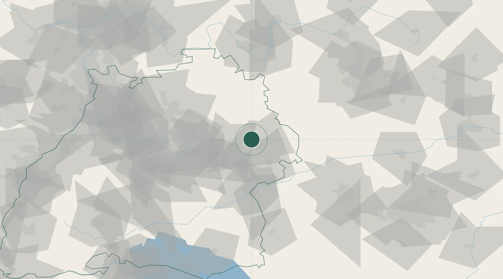
Location
Nearby Logistics Neighbours
Cities
- 1Neuler6 km
- 2Schechingen7 km
- 3Hüttlingen8 km
- 4Mögglingen10 km
- 5Eschach (bei Schwäbisch Gmünd)10 km
Ports
- 1Nogaro423 km
- 2Porto Di Lido-Venezia429 km
- 3Grado434 km
- 4Monfalcone438 km
- 5Porto Di Chioggia443 km
Airports
- 1Adolf Würth Airport29 km
- 2Niederstetten Army Air Base55 km
- 3Stuttgart Airport62 km
- 4Laupheim Air Base76 km
- 5Augsburg Airport86 km
Trade Zones
- 1ZFU Neuhof169 km
- 2ZFU Hautepierre173 km
- 3Freeport of Deggendorf212 km
- 4ZFU La Cité Behren-lès-Forbach226 km
- 5ZFU Mulhouse235 km
DatabookThe Record of Consolidated Knowledge
Germany beyond logistics?