UN/LOCODE hub · Germany
DEMGW

Mögglingen

48.8167°, 9.9667°
4,085
Population
2
Transport functions

Transport Functions

Port
Multimodal
UN/LOCODE

Hub Profile

Place type
Local administrative seat
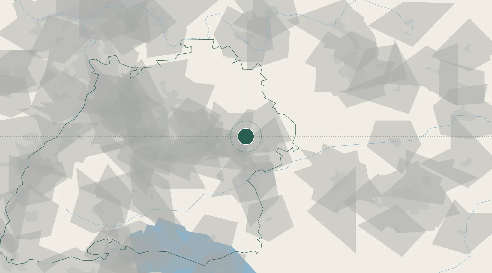
GeoNames
Region
Baden-Wurttemberg
GeoNames
Population
4,085
GeoNames
Time zone
Europe/Berlin
GeoNames
Elevation
412 m
GeoNames

Location

Location of DEMGW
Natural Earth 10m (public domain) · Baden-Wurttemberg · DEMGW · 48.82, 9.97GoogleOSMYandex

Nearby Logistics Neighbours

Cities
  1. 1Schechingen7 km
  2. 2Abtsgmünd10 km
  3. 3Eschach (bei Schwäbisch Gmünd)10 km
  4. 4Oberkochen10 km
  5. 5Hüttlingen12 km
Nearest neighbours — logibook spatial index (haversine) over the source coordinates
Ports
  1. 1Nogaro417 km
  2. 2Porto Di Lido-Venezia422 km
  3. 3Grado428 km
  4. 4Monfalcone432 km
  5. 5Porto Di Chioggia436 km
Nearest neighbours — logibook spatial index (haversine) over the source coordinates
Airports
  1. 1Adolf Würth Airport36 km
  2. 2Stuttgart Airport56 km
  3. 3Niederstetten Army Air Base64 km
  4. 4Laupheim Air Base66 km
  5. 5Augsburg Airport83 km
Nearest neighbours — logibook spatial index (haversine) over the source coordinates
Trade Zones
  1. 1ZFU Neuhof165 km
  2. 2ZFU Hautepierre169 km
  3. 3ZFU La Cité Behren-lès-Forbach225 km
  4. 4ZFU Mulhouse228 km
  5. 5Livigno Free Trade Zone254 km
Nearest neighbours — logibook spatial index (haversine) over the source coordinates
DatabookThe Record of Consolidated Knowledge
Germany beyond logistics?
Browse databook

All Sources

LocationsUN/LOCODE
UN/LOCODE — free
LocationsGeoNames
CC BY 4.0
Portsthe NGA World Port Index
Public domain (US gov)
AirportsOurAirports
Public domain
Trade Zonesthe World Bank SEZ database
CC BY 4.0
Trade ZonesOpen Zone Map
CC BY
← Germany locations