Transport Functions
Road
Multimodal
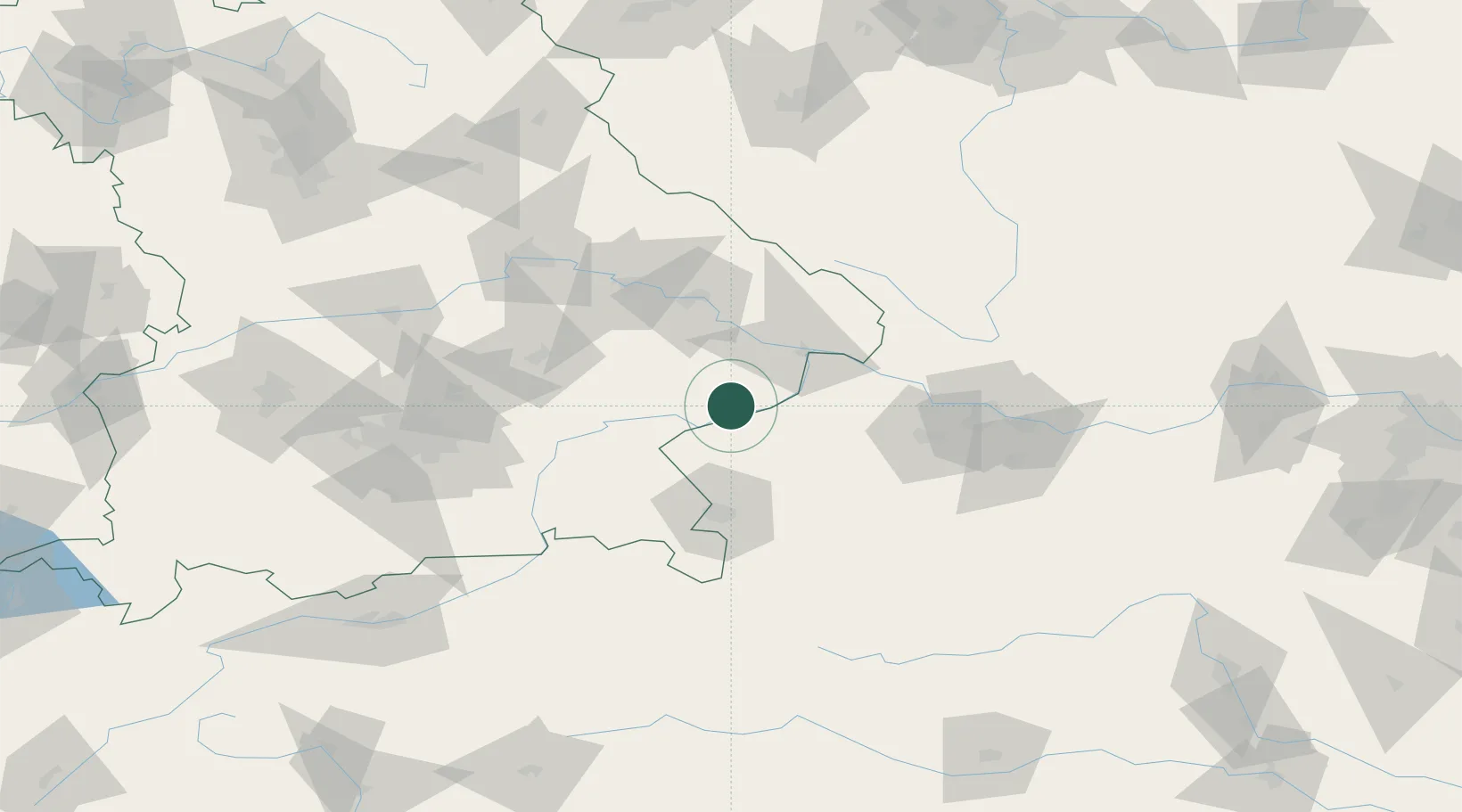
Hub Profile
Place type
Local administrative seat
Region
Bavaria
Population
1,503
Time zone
Europe/Berlin
Elevation
473 m
Location
Nearby Logistics Neighbours
Cities
- 1Braunau am Inn8 km
- 2Rucking10 km
- 3Bayerbach10 km
- 4Mühlheim11 km
- 5Ranshofen11 km
Ports
- 1Monfalcone284 km
- 2Nogaro285 km
- 3Grado292 km
- 4Trieste301 km
- 5Muggia307 km
Airports
- 1Salzburg Airport59 km
- 2Landshut Airfield80 km
- 3Linz-Hörsching Airport82 km
- 4Munich Airport96 km
- 5České Budějovice South Bohemian Airport121 km
Trade Zones
DatabookThe Record of Consolidated Knowledge
Germany beyond logistics?