Transport Functions
Multimodal
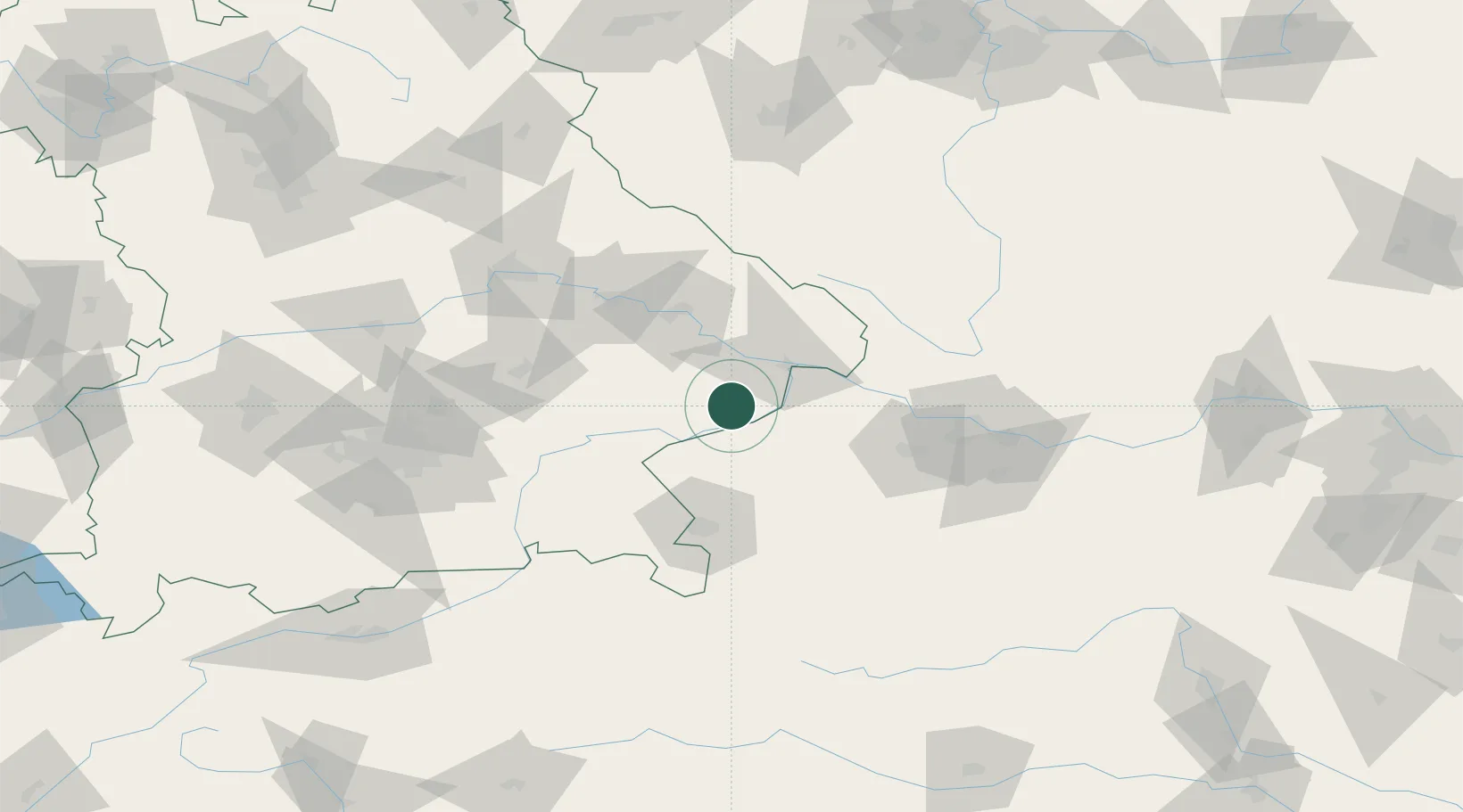
Hub Profile
Place type
Populated place
Region
Bavaria
Time zone
Europe/Berlin
Elevation
367 m
Location
Nearby Logistics Neighbours
Cities
- 1Bayerbach3 km
- 2Karpfham5 km
- 3Bad Birnbach10 km
- 4Stubenberg10 km
- 5Mühlheim12 km
Ports
- 1Monfalcone291 km
- 2Nogaro292 km
- 3Grado299 km
- 4Trieste307 km
- 5Muggia313 km
Airports
- 1Salzburg Airport67 km
- 2Linz-Hörsching Airport77 km
- 3Landshut Airfield85 km
- 4Munich Airport102 km
- 5České Budějovice South Bohemian Airport112 km
Trade Zones
DatabookThe Record of Consolidated Knowledge
Germany beyond logistics?