Transport Functions
Multimodal
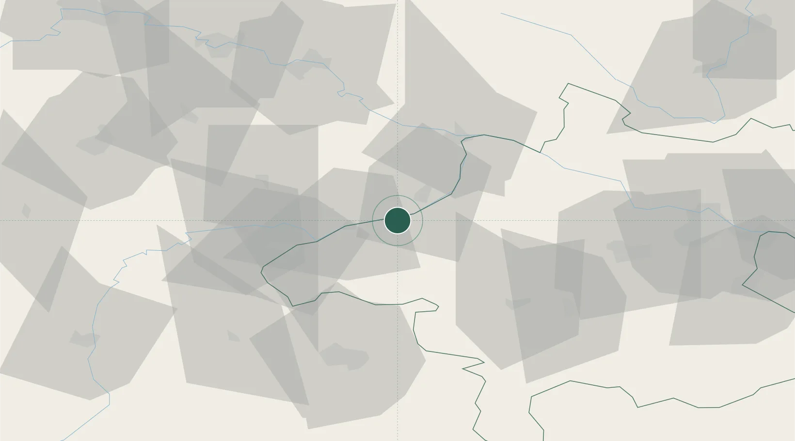
Location
Nearby Logistics Neighbours
Cities
- 1Geinberg3 km
- 2Stubenberg11 km
- 3Rucking12 km
- 4Braunau am Inn14 km
- 5Bayerbach14 km
Ports
- 1Monfalcone279 km
- 2Nogaro281 km
- 3Grado288 km
- 4Trieste295 km
- 5Muggia301 km
Airports
- 1Salzburg Airport57 km
- 2Linz-Hörsching Airport72 km
- 3Landshut Airfield91 km
- 4Munich Airport106 km
- 5České Budějovice South Bohemian Airport116 km
Trade Zones
DatabookThe Record of Consolidated Knowledge
Austria beyond logistics?