Transport Functions
Rail
Road
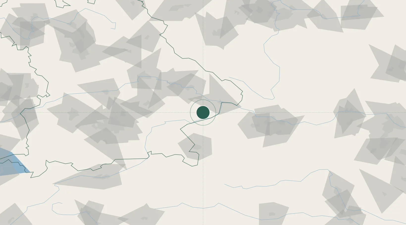
Hub Profile
Place type
Local administrative seat
Region
Bavaria
Population
1,651
Time zone
Europe/Berlin
Elevation
357 m
Location
Nearby Logistics Neighbours
Cities
- 1Rucking3 km
- 2Karpfham6 km
- 3Bad Birnbach7 km
- 4Stubenberg10 km
- 5Mühlheim14 km
Ports
- 1Monfalcone293 km
- 2Nogaro294 km
- 3Grado301 km
- 4Trieste309 km
- 5Muggia315 km
Airports
- 1Salzburg Airport68 km
- 2Linz-Hörsching Airport80 km
- 3Landshut Airfield82 km
- 4Munich Airport100 km
- 5České Budějovice South Bohemian Airport113 km
Trade Zones
DatabookThe Record of Consolidated Knowledge
Germany beyond logistics?