Transport Functions
Multimodal
Hub Profile
Region
RP
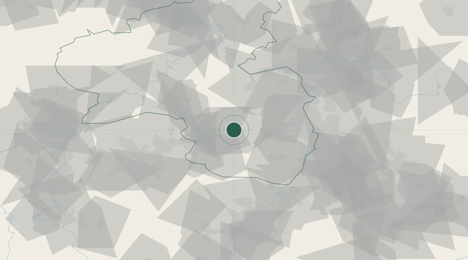
Location
Nearby Logistics Neighbours
Cities
- 1Otterbach2 km
- 2Otterberg4 km
- 3Mackenbach11 km
- 4Stelzenberg11 km
- 5Kreimbach-Kaulbach12 km
Airports
- 1Ramstein Air Base10 km
- 2Saarbrücken Airport53 km
- 3Mannheim-City Airport56 km
- 4Mainz-Finthen Airfield63 km
- 5Frankfurt-Hahn Airport63 km
Trade Zones
- 1ZFU La Cité Behren-lès-Forbach67 km
- 2ZFU Hautepierre97 km
- 3ZFU Neuhof103 km
- 4Luxembourg Free Port111 km
- 5ZFU Woippy-Metz120 km
DatabookThe Record of Consolidated Knowledge
Germany beyond logistics?