UN/LOCODE hub · Germany
DERWH

Rossbach

48.6000°, 12.9333°
1
Transport functions

Transport Functions

Multimodal
UN/LOCODE

Hub Profile

Place type
Local administrative seat
GeoNames
Region
Bavaria
GeoNames
Time zone
Europe/Berlin
GeoNames
Elevation
344 m
GeoNames

Location

Location of DERWH
Natural Earth 10m (public domain) · Bavaria · DERWH · 48.60, 12.93GoogleOSMYandex

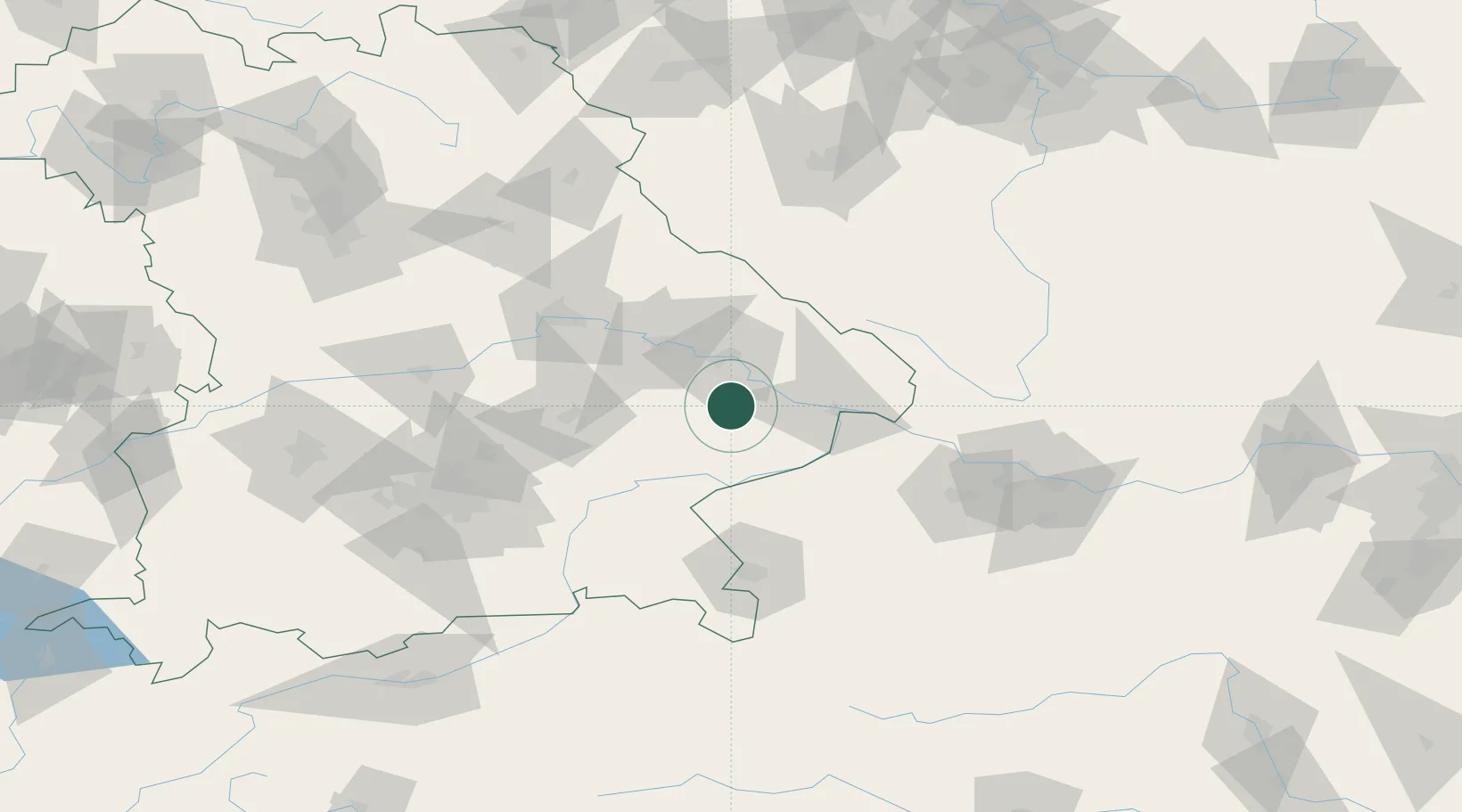
Nearby Logistics Neighbours

Cities
  1. 1Munchsdorf3 km
  2. 2Osterhofen13 km
  3. 3Simbach14 km
  4. 4Winzer18 km
  5. 5Vilshofen19 km
Nearest neighbours — logibook spatial index (haversine) over the source coordinates
Ports
  1. 1Nogaro316 km
  2. 2Monfalcone317 km
  3. 3Grado324 km
  4. 4Trieste334 km
  5. 5Muggia340 km
Nearest neighbours — logibook spatial index (haversine) over the source coordinates
Airports
  1. 1Landshut Airfield67 km
  2. 2Munich Airport89 km
  3. 3Salzburg Airport90 km
  4. 4Linz-Hörsching Airport101 km
  5. 5Ingolstadt Manching Airport104 km
Nearest neighbours — logibook spatial index (haversine) over the source coordinates
Trade Zones
  1. 1Freeport of Deggendorf28 km
  2. 2Podbořany Industrial Zone184 km
  3. 3Žatec - Triangle Strategic Industrial Zone204 km
  4. 4Most - Joseph Industrial Zone216 km
  5. 5Světlá nad Sázavou Municipal Industrial Zone216 km
Nearest neighbours — logibook spatial index (haversine) over the source coordinates
DatabookThe Record of Consolidated Knowledge
Germany beyond logistics?
Browse databook

All Sources

LocationsUN/LOCODE
UN/LOCODE — free
Portsthe NGA World Port Index
Public domain (US gov)
AirportsOurAirports
Public domain
Trade Zonesthe World Bank SEZ database
CC BY 4.0
Trade ZonesOpen Zone Map
CC BY
← Germany locations