Transport Functions
Multimodal
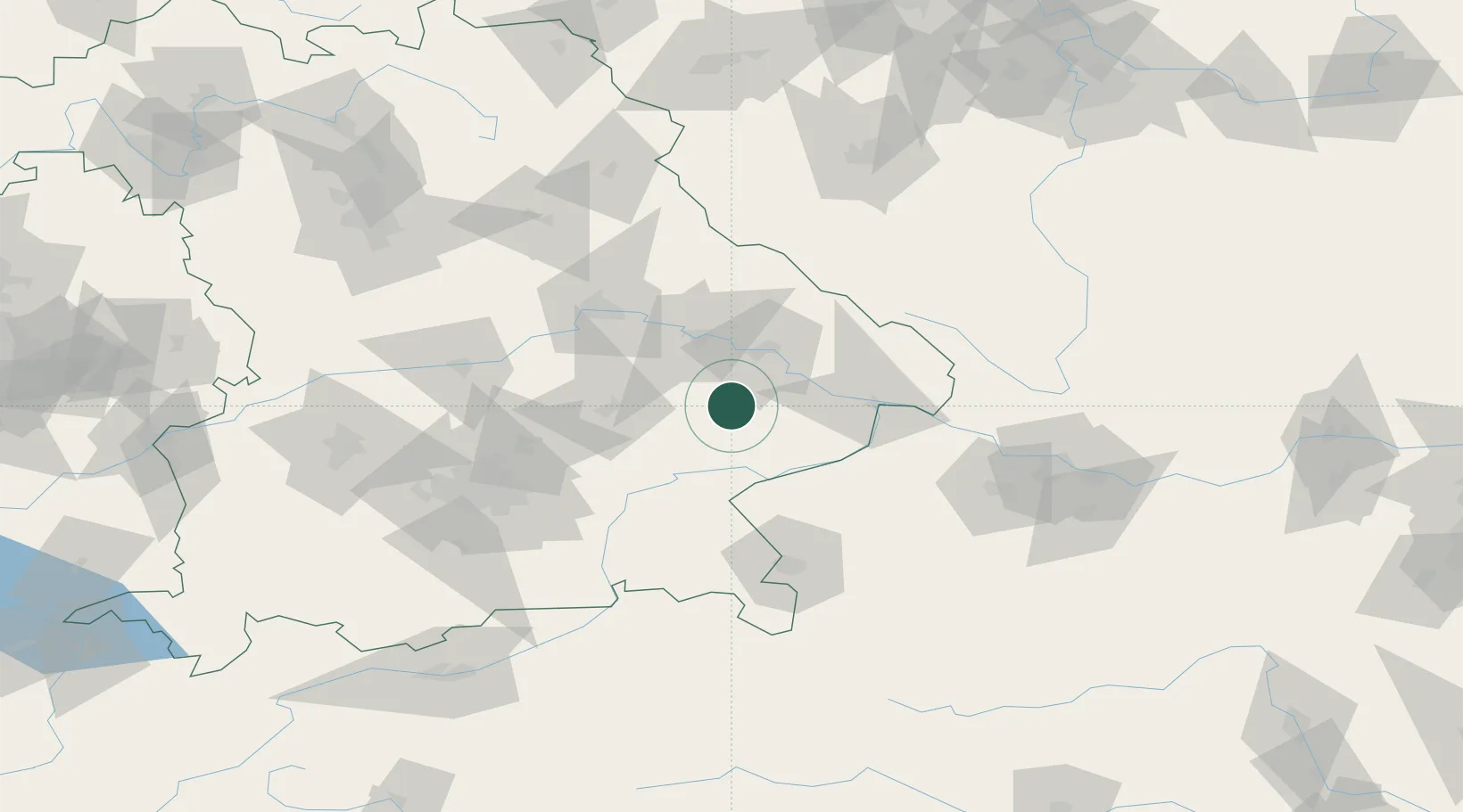
Hub Profile
Place type
Populated place
Region
Bavaria
Population
3,672
Time zone
Europe/Berlin
Elevation
445 m
Location
Nearby Logistics Neighbours
Cities
- 1Reisbach9 km
- 2Munchsdorf11 km
- 3Landau an der Isar14 km
- 4Rossbach14 km
- 5Mamming14 km
Ports
- 1Nogaro314 km
- 2Monfalcone315 km
- 3Grado322 km
- 4Trieste333 km
- 5Muggia339 km
Airports
- 1Landshut Airfield53 km
- 2Munich Airport75 km
- 3Salzburg Airport88 km
- 4Ingolstadt Manching Airport91 km
- 5Hohenfels Army Airfield98 km
Trade Zones
DatabookThe Record of Consolidated Knowledge
Germany beyond logistics?