UN/LOCODE hub · Germany
DEM5B

Munchsdorf

48.5833°, 12.9000°
2
Transport functions

Transport Functions

Port
Multimodal
UN/LOCODE

Hub Profile

Region
BY
GeoNames

Location

Location of DEM5B
Natural Earth 10m (public domain) · BY · DEM5B · 48.58, 12.90GoogleOSMYandex

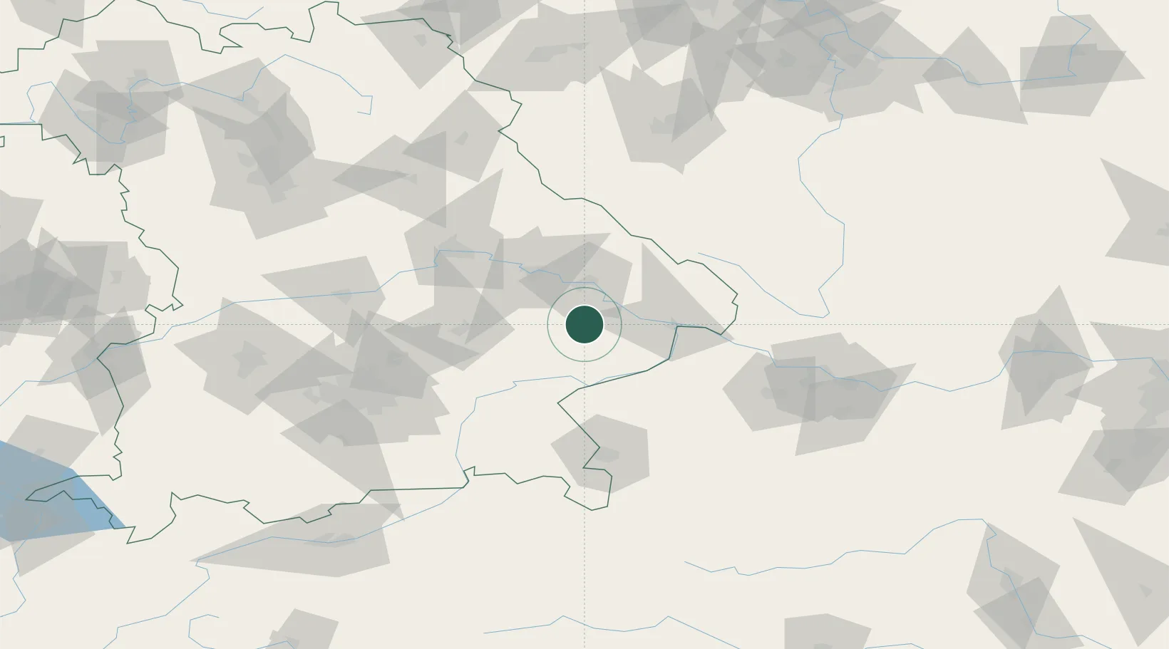
Nearby Logistics Neighbours

Cities
  1. 1Rossbach3 km
  2. 2Simbach11 km
  3. 3Osterhofen16 km
  4. 4Landau an der Isar19 km
  5. 5Reisbach20 km
Nearest neighbours — logibook spatial index (haversine) over the source coordinates
Ports
  1. 1Nogaro315 km
  2. 2Monfalcone315 km
  3. 3Grado322 km
  4. 4Trieste332 km
  5. 5Muggia338 km
Nearest neighbours — logibook spatial index (haversine) over the source coordinates
Airports
  1. 1Landshut Airfield64 km
  2. 2Munich Airport86 km
  3. 3Salzburg Airport88 km
  4. 4Ingolstadt Manching Airport101 km
  5. 5Linz-Hörsching Airport103 km
Nearest neighbours — logibook spatial index (haversine) over the source coordinates
Trade Zones
  1. 1Freeport of Deggendorf29 km
  2. 2Podbořany Industrial Zone187 km
  3. 3Žatec - Triangle Strategic Industrial Zone206 km
  4. 4Most - Joseph Industrial Zone218 km
  5. 5Světlá nad Sázavou Municipal Industrial Zone219 km
Nearest neighbours — logibook spatial index (haversine) over the source coordinates
DatabookThe Record of Consolidated Knowledge
Germany beyond logistics?
Browse databook

All Sources

LocationsUN/LOCODE
UN/LOCODE — free
Portsthe NGA World Port Index
Public domain (US gov)
AirportsOurAirports
Public domain
Trade Zonesthe World Bank SEZ database
CC BY 4.0
Trade ZonesOpen Zone Map
CC BY
← Germany locations