Transport Functions
Multimodal
Hub Profile
Place type
Populated place
Region
Baden-Wurttemberg
Time zone
Europe/Berlin
Elevation
581 m
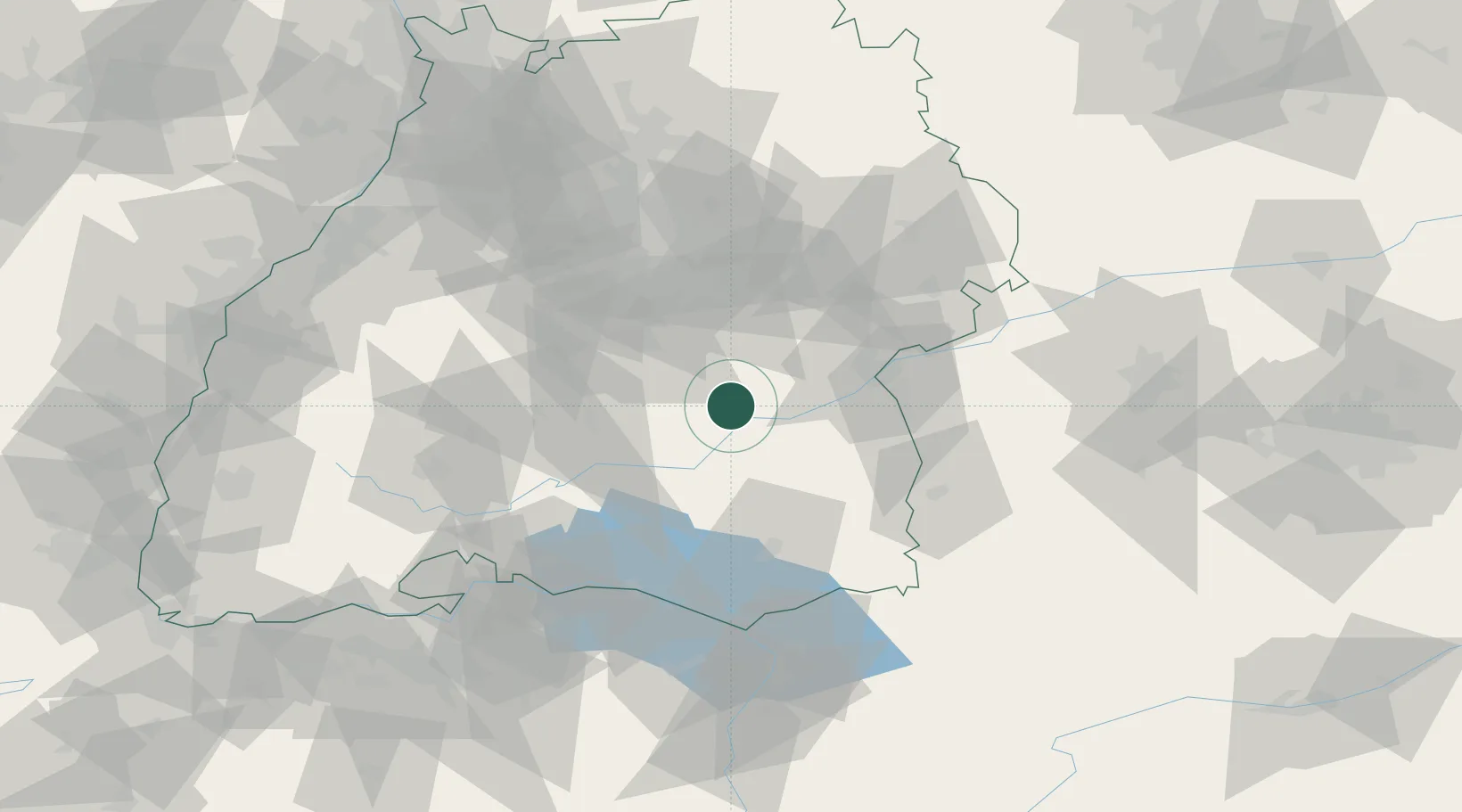
Location
Nearby Logistics Neighbours
Cities
- 1Hayingen1 km
- 2Untermarchtal10 km
- 3Rottenacker15 km
- 4Riedlingen15 km
- 5Uttenweiler17 km
Ports
- 1Porto Di Lido-Venezia389 km
- 2Nogaro395 km
- 3Porto Di Chioggia401 km
- 4Grado407 km
- 5Monfalcone414 km
Airports
- 1Mengen-Hohentengen Airfield27 km
- 2Laupheim Air Base31 km
- 3Stuttgart Airport50 km
- 4Memmingen Allgau Airport64 km
- 5Bodensee Airport Friedrichshafen68 km
Trade Zones
- 1ZFU Neuhof131 km
- 2ZFU Hautepierre138 km
- 3ZFU Mulhouse172 km
- 4Livigno Free Trade Zone200 km
- 5ZFU Belfort213 km
DatabookThe Record of Consolidated Knowledge
Germany beyond logistics?