Transport Functions
Rail
Road
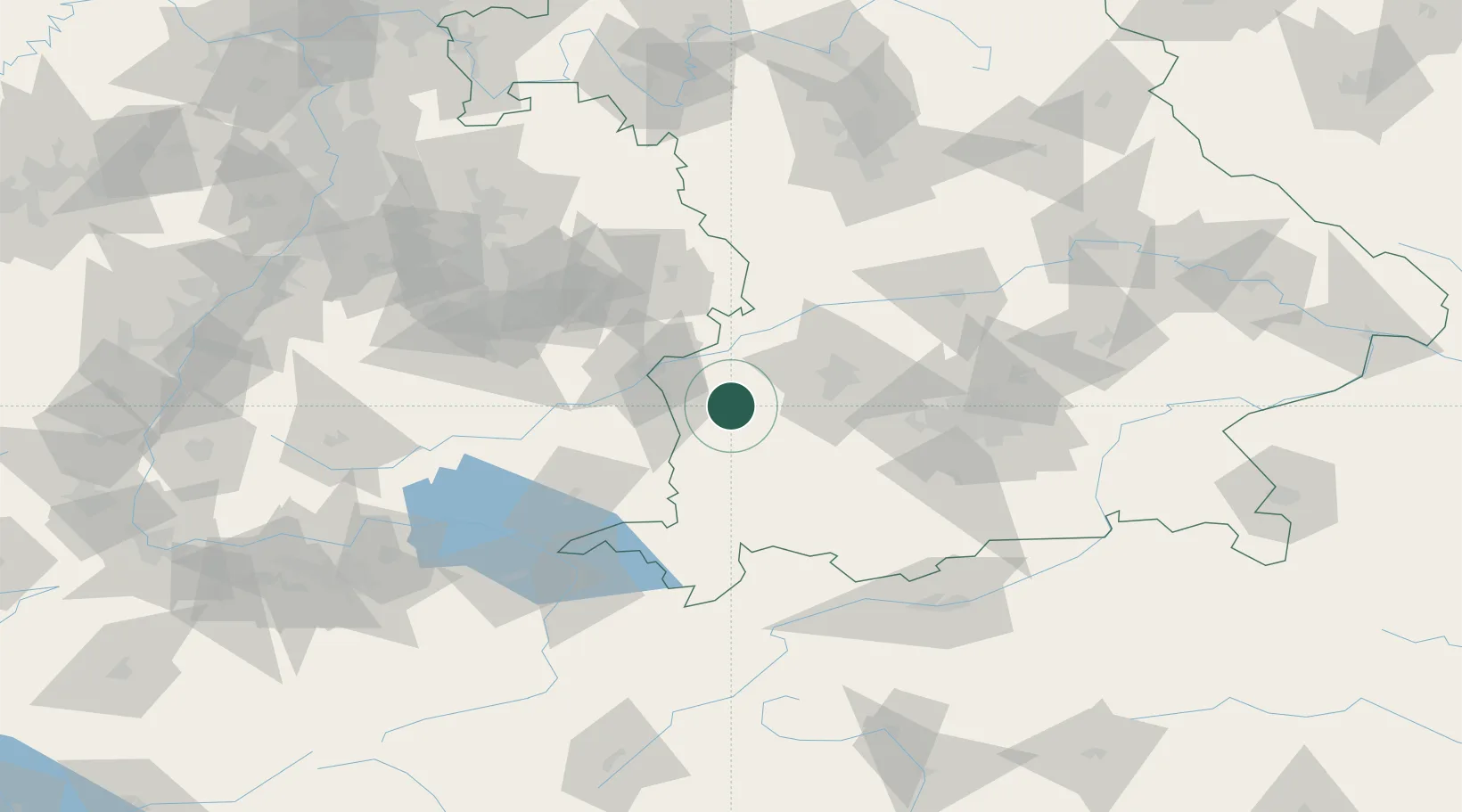
Hub Profile
Place type
Populated place
Region
Bavaria
Time zone
Europe/Berlin
Elevation
524 m
Location
Nearby Logistics Neighbours
Cities
- 1Deisenhausen4 km
- 2Breitenthal6 km
- 3Thannhausen8 km
- 4Balzhausen9 km
- 5Nordholz12 km
Ports
- 1Nogaro347 km
- 2Porto Di Lido-Venezia350 km
- 3Grado358 km
- 4Monfalcone363 km
- 5Porto Di Chioggia364 km
Airports
- 1Memmingen Allgau Airport29 km
- 2Laupheim Air Base35 km
- 3Lechfeld Air Base36 km
- 4Augsburg Airport46 km
- 5Altstetten Ultralight Field67 km
Trade Zones
- 1Livigno Free Trade Zone190 km
- 2ZFU Neuhof196 km
- 3Freeport of Deggendorf198 km
- 4ZFU Hautepierre203 km
- 5ZFU Mulhouse233 km
DatabookThe Record of Consolidated Knowledge
Germany beyond logistics?