Transport Functions
Rail
Road
Multimodal
Hub Profile
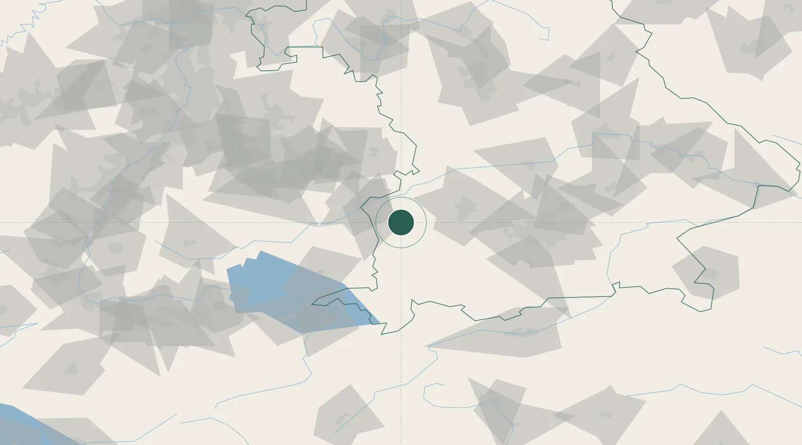
Place type
Local administrative seat
Region
Bavaria
Population
1,533
Time zone
Europe/Berlin
Elevation
517 m
Location
Nearby Logistics Neighbours
Cities
- 1Breitenthal3 km
- 2Niederraunau4 km
- 3Roggenburg9 km
- 4Nordholz9 km
- 5Thannhausen11 km
Ports
- 1Nogaro351 km
- 2Porto Di Lido-Venezia353 km
- 3Grado362 km
- 4Monfalcone367 km
- 5Porto Di Chioggia367 km
Airports
- 1Memmingen Allgau Airport30 km
- 2Laupheim Air Base32 km
- 3Lechfeld Air Base40 km
- 4Augsburg Airport48 km
- 5Altstetten Ultralight Field71 km
Trade Zones
- 1Livigno Free Trade Zone192 km
- 2ZFU Neuhof193 km
- 3ZFU Hautepierre199 km
- 4Freeport of Deggendorf201 km
- 5ZFU Mulhouse230 km
DatabookThe Record of Consolidated Knowledge
Germany beyond logistics?