Transport Functions
Multimodal
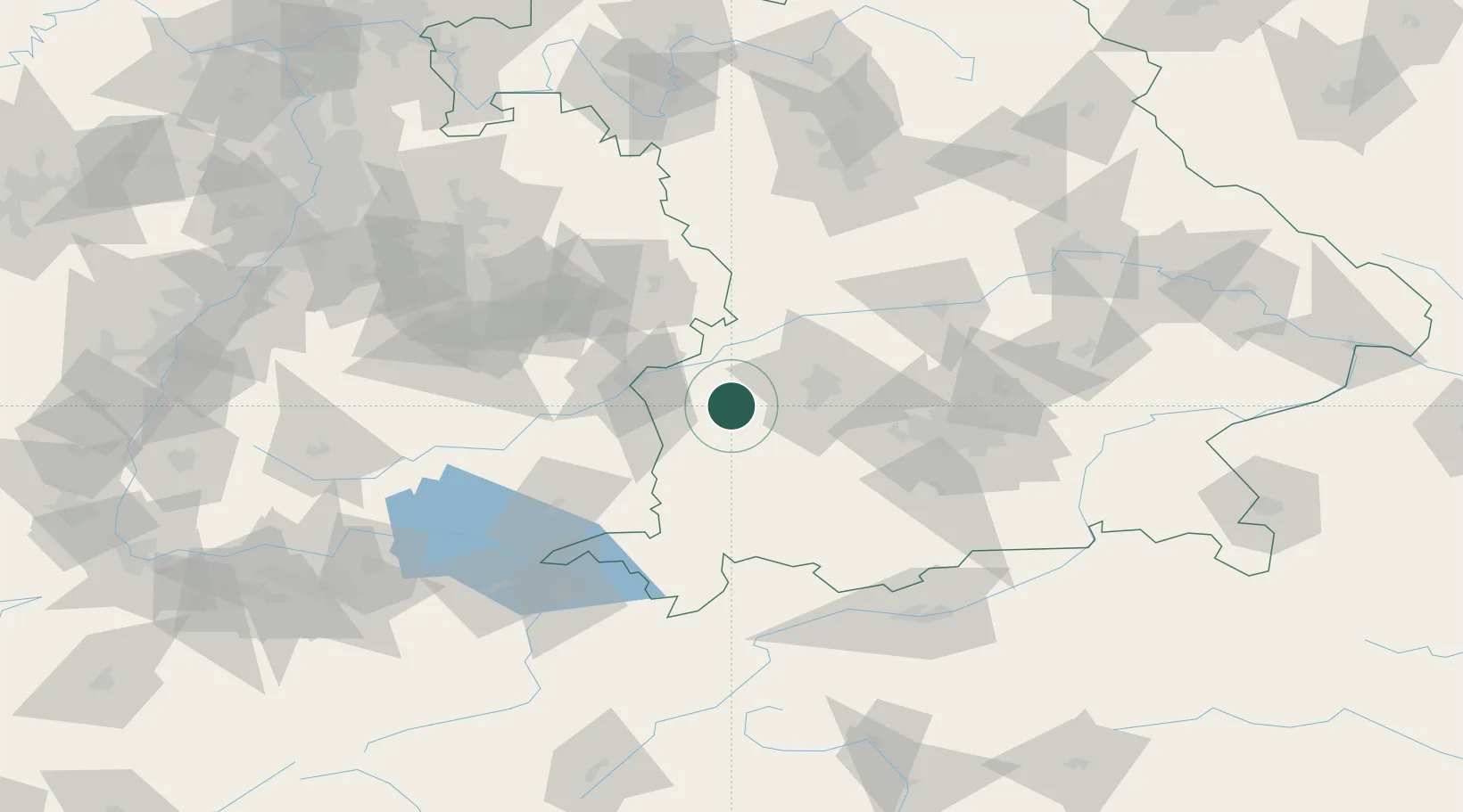
Hub Profile
Place type
Populated place
Region
Bavaria
Population
6,336
Time zone
Europe/Berlin
Elevation
504 m
Location
Nearby Logistics Neighbours
Cities
- 1Ziemetshausen5 km
- 2Balzhausen6 km
- 3Burtenbach8 km
- 4Niederraunau8 km
- 5Walkertshofen10 km
Ports
- 1Nogaro347 km
- 2Porto Di Lido-Venezia352 km
- 3Grado359 km
- 4Monfalcone363 km
- 5Porto Di Chioggia367 km
Airports
- 1Lechfeld Air Base31 km
- 2Memmingen Allgau Airport37 km
- 3Augsburg Airport38 km
- 4Laupheim Air Base42 km
- 5Altstetten Ultralight Field61 km
Trade Zones
- 1Freeport of Deggendorf190 km
- 2Livigno Free Trade Zone197 km
- 3ZFU Neuhof202 km
- 4ZFU Hautepierre208 km
- 5ZFU Mulhouse240 km
DatabookThe Record of Consolidated Knowledge
Germany beyond logistics?