Transport Functions
Multimodal
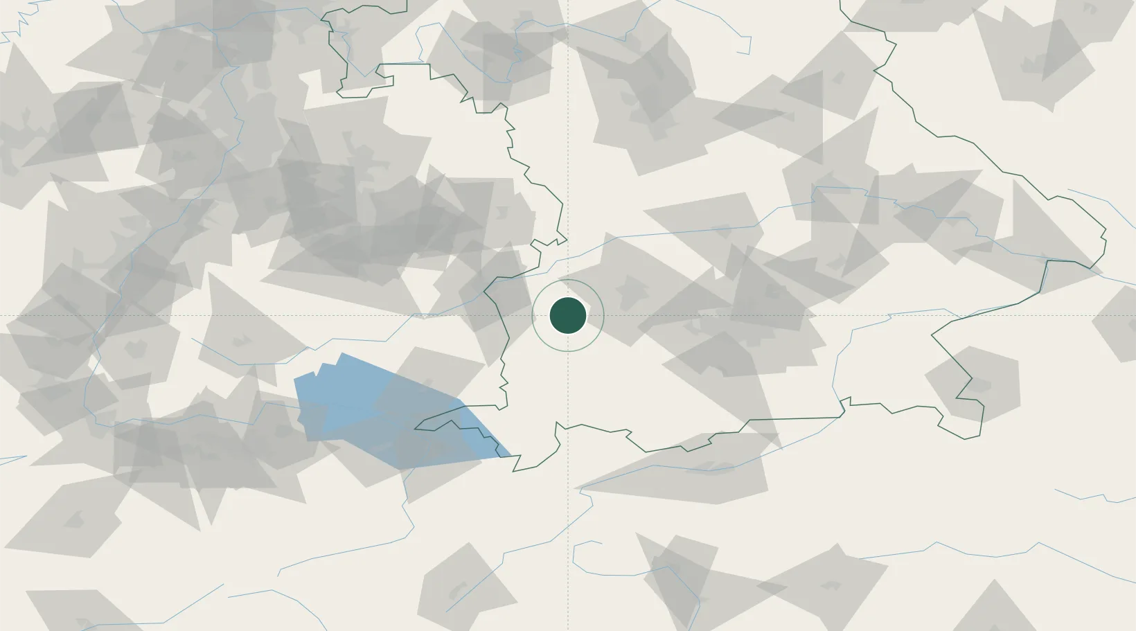
Hub Profile
Place type
Local administrative seat
Region
Bavaria
Population
1,262
Time zone
Europe/Berlin
Elevation
521 m
Location
Nearby Logistics Neighbours
Cities
- 1Thannhausen6 km
- 2Walkertshofen6 km
- 3Eppishausen8 km
- 4Langenneufnach8 km
- 5Ziemetshausen8 km
Ports
- 1Nogaro341 km
- 2Porto Di Lido-Venezia346 km
- 3Grado353 km
- 4Monfalcone357 km
- 5Porto Di Chioggia361 km
Airports
- 1Lechfeld Air Base27 km
- 2Memmingen Allgau Airport34 km
- 3Augsburg Airport38 km
- 4Laupheim Air Base44 km
- 5Altstetten Ultralight Field59 km
Trade Zones
- 1Freeport of Deggendorf190 km
- 2Livigno Free Trade Zone192 km
- 3ZFU Neuhof205 km
- 4ZFU Hautepierre211 km
- 5ZFU Mulhouse242 km
DatabookThe Record of Consolidated Knowledge
Germany beyond logistics?