Transport Functions
Multimodal
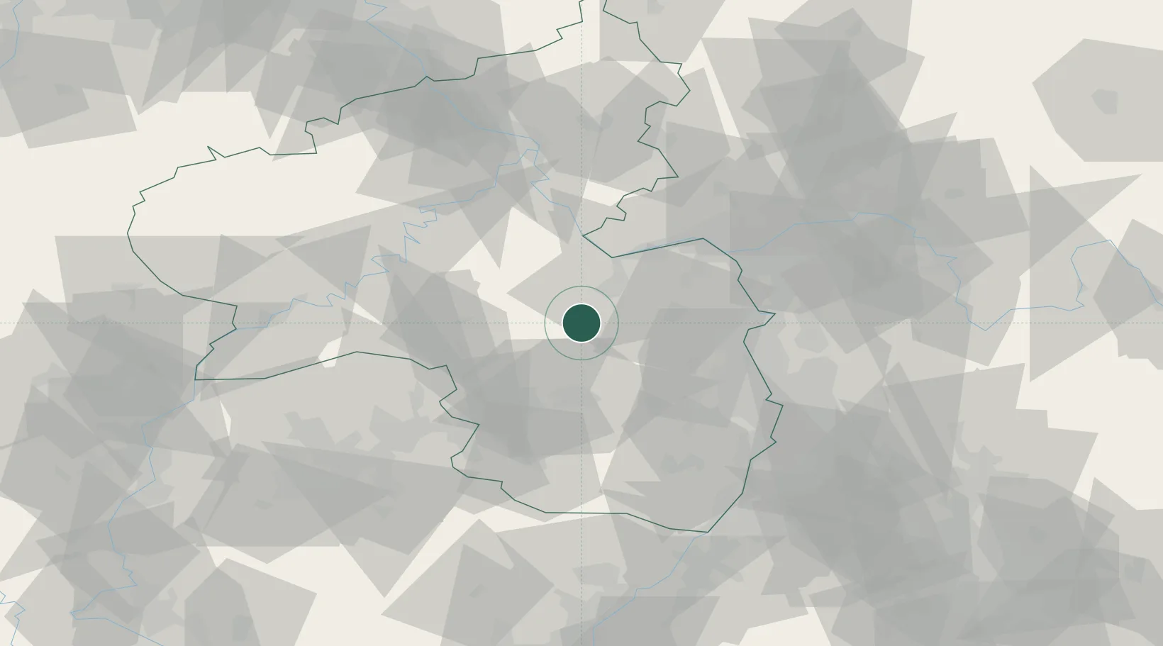
Hub Profile
Place type
Populated place
Region
Rheinland-Pfalz
Population
1,183
Time zone
Europe/Berlin
Elevation
184 m
Location
Nearby Logistics Neighbours
Cities
- 1Oberhausen an der Nahe6 km
- 2Münsterappel8 km
- 3Bad Sobernheim9 km
- 4Waldböckelheim10 km
- 5Katzenbach10 km
Airports
- 1Ramstein Air Base35 km
- 2Mainz-Finthen Airfield38 km
- 3Frankfurt-Hahn Airport43 km
- 4Wiesbaden Army Airfield53 km
- 5Mannheim-City Airport61 km
Trade Zones
- 1ZFU La Cité Behren-lès-Forbach87 km
- 2Luxembourg Free Port112 km
- 3ZFU Hautepierre127 km
- 4ZFU Neuhof133 km
- 5ZFU Woippy-Metz134 km
DatabookThe Record of Consolidated Knowledge
Germany beyond logistics?