Transport Functions
Multimodal
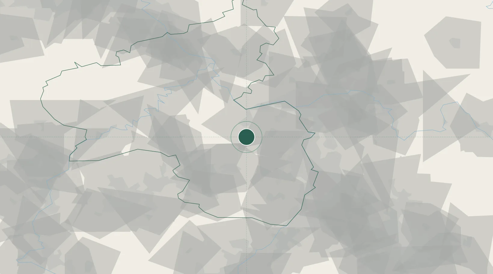
Hub Profile
Place type
Local administrative seat
Region
Rheinland-Pfalz
Population
535
Time zone
Europe/Berlin
Elevation
218 m
Location
Nearby Logistics Neighbours
Cities
- 1Wonsheim8 km
- 2Obermoschel8 km
- 3Orbis9 km
- 4Katzenbach10 km
- 5Oberhausen an der Nahe11 km
Airports
- 1Mainz-Finthen Airfield32 km
- 2Ramstein Air Base39 km
- 3Wiesbaden Army Airfield47 km
- 4Frankfurt-Hahn Airport51 km
- 5Mannheim-City Airport54 km
Trade Zones
- 1ZFU La Cité Behren-lès-Forbach94 km
- 2Luxembourg Free Port120 km
- 3ZFU Hautepierre127 km
- 4ZFU Neuhof133 km
- 5ZFU Woippy-Metz141 km
DatabookThe Record of Consolidated Knowledge
Germany beyond logistics?