Transport Functions
Multimodal
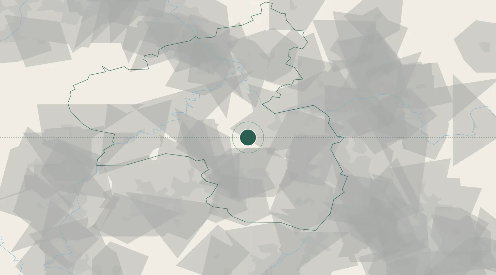
Hub Profile
Place type
Populated place
Region
Rheinland-Pfalz
Population
6,479
Time zone
Europe/Berlin
Elevation
161 m
Location
Nearby Logistics Neighbours
Cities
- 1Sobernheim2 km
- 2Waldböckelheim7 km
- 3Oberhausen an der Nahe7 km
- 4Obermoschel9 km
- 5Oberreidenbach15 km
Airports
- 1Frankfurt-Hahn Airport34 km
- 2Ramstein Air Base37 km
- 3Mainz-Finthen Airfield42 km
- 4Wiesbaden Army Airfield58 km
- 5Büchel Air Base62 km
Trade Zones
- 1ZFU La Cité Behren-lès-Forbach85 km
- 2Luxembourg Free Port104 km
- 3ZFU Woippy-Metz128 km
- 4ZFU Hautepierre130 km
- 5ZFU Metz130 km
DatabookThe Record of Consolidated Knowledge
Germany beyond logistics?